 Hiking
 Login
Login More
More EN
EN Premium
Rillaarse Hill hike
automatic translation
10.7 km • Aarschot
 official route
1.9410 6 3.6/5
route offered by
 Addresse starting point (approximate)
Sint-Niklaaskerk Rillaar, Diestsesteenweg 1, 3202 Rillaar
 signage
The route is fully signposted with nodes.
 Description
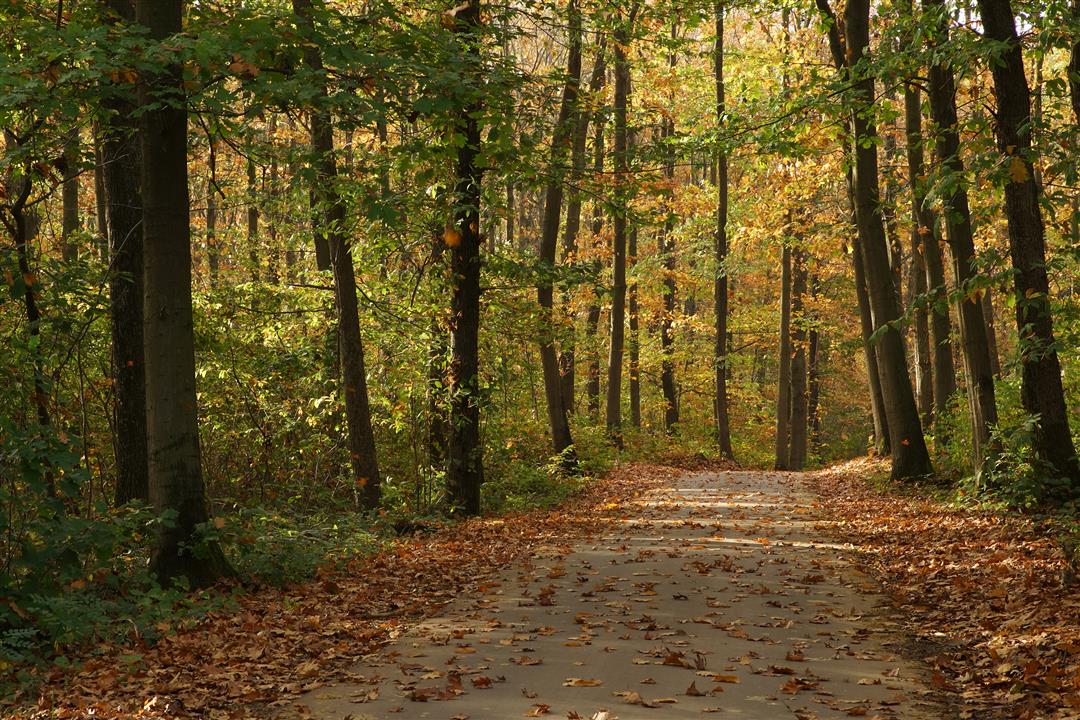
You start your hike at the Neoclassical St. Nicholas Church of Rillaar. You walk along slow roads with spectacular views over the hills of Rillaar and can enjoy the beautiful Tienbunderbos.
This walk is offered by Tourism Flemish Brabant.
automatic translation
 nodes to follow
0 km
0.1 km
0.7 km
1 km
1.3 km
2.9 km
3.5 km
4.4 km
4.9 km
6.8 km
8.8 km
10.2 km
10.5 km
10.7 km
Wednesday, June 29, 2022 by N.L.Beautiful pieces of nature. Pity indeed about the strips along highway.
automatic translation
Tuesday, March 30, 2021 by P.J.Too bad that for much of the hike you can hear the cars racing by on the highway. Even when you are still relatively far away from it. Maybe it was because of the wind, but at least it wasn't soothing....
automatic translation
Monday, November 23, 2020 by carine vanheuckelomNice varied hike, a bit muddy but that's because of the time of year:-).I don't find the stretch along the highway that bothersome. ( was Sunday and probably less crowded than a weekday) Yes highly recommended for a hike of just over 10 km
automatic translation
Tuesday, November 3, 2020 by Guy Van dammeIt's a very varied hike, with views, tough climbs, muddy roads due to the rain of the last few days, beautiful forests ... especially the Tienbunderbos. This hike is definitely recommended and if there were no bits of motorway along the trail this hike would get a 9/10 from us, but now an 8/10 .
automatic translation
Sunday, September 27, 2020 by G.M.G. Started in the center of Rillaar. Sloping trail. Halfway the hike you get close to the highway and you keep walking along it for a while. So for the absolute silence seeker this is a little less but in itself a nice hike.
automatic translation
Monday, August 17, 2020 by Peter WilsCurrently there are still two versions of this hike: one signposted with red hexagonal signs and one with nodes, both tours are not identical! We followed the junctions and they are fine. The hike is very beautiful, literally through corn fields and meadows and through the ten-birch forest. There is reasonable climbing and descending in the forest.
automatic translation


 Upgrade to Premium Plus
