 Hiking
 Login
Login More
More EN
EN Premium
Meetshoven walk
automatic translation
9.2 km • Aarschot
 official route
route offered by
 Addresse starting point (approximate)
Restaurant 't Wit Toreke, Ter Heidelaan 97, 3200 Aarschot
 signage
The route is fully signposted with nodes.
 Description
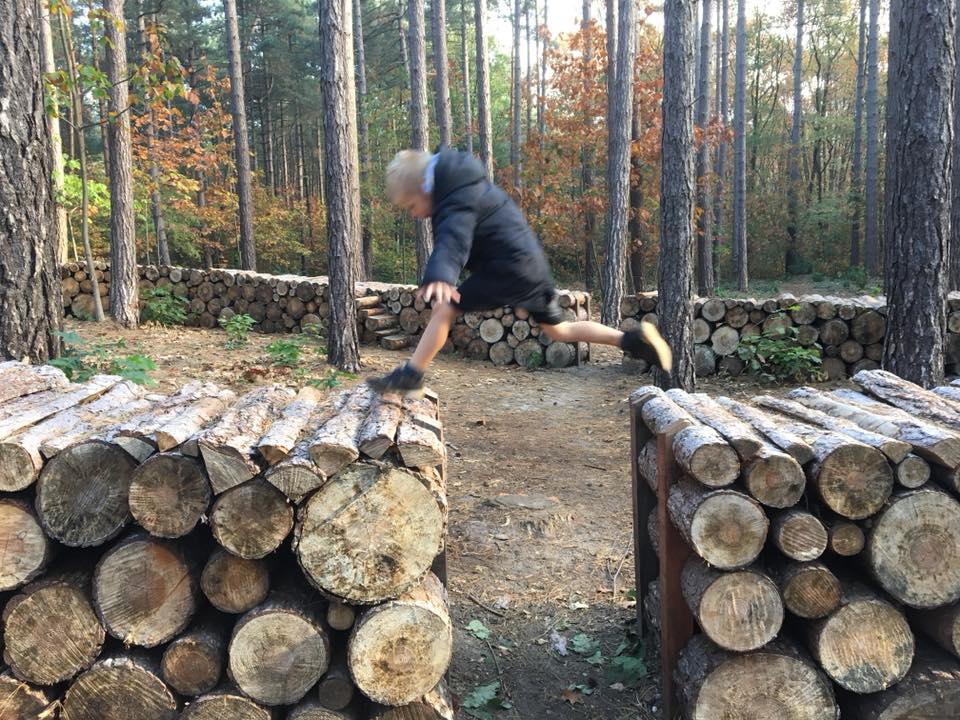
Start at the building of 't Wit Toreke, remnants of the old knight's estate of Messrs. Meynaerts and walk past the grotteke van Meetshoven, a collection of chapellekes with seating in theater form. Step through Meerstels nature reserve consisting of woods, meadows and marshland, cut in half by the Aarschot-Lier railroad line. You walk along the old railroad bed Aarschot-Herentals.
This walk is offered by Tourism Flemish Brabant.
automatic translation
 nodes to follow
0 km
0.2 km
1.4 km
1.6 km
2.7 km
4.2 km
7.1 km
7.7 km
7.9 km
9 km
9.1 km
9.2 km
Thursday, April 8, 2021 by Jan TheunisAbsolutely not worth it, as the other reviews mention way too much concrete and asphalt.
automatic translation
Thursday, February 11, 2021 by Guy BovenToo much on paved roads, the beginning and the end was fine.
automatic translation
Sunday, December 27, 2020 by Roland WolfsNot a nice hike, way too much concrete and straight roads. Only the part in the forest at the starting point is nice.
automatic translation
Friday, November 6, 2020 by T.V.expected more of it, lots of concrete, nice views here and there, but that's where it stops
automatic translation


 Upgrade to Premium Plus
