
 Hiking
 Login
Login
 More
More
 EN
EN
 Premium
Pepijnwandeling
8.9 km • Landen
 official route
2.1084 2 2.5/5
route offered by

 Addresse starting point (approximate)
Site Sinte Gitter, Raatshovenstraat, 3400 Landen
 signage
The route is signposted with thematic signs (no nodes). You can use a GPS device or our app to follow the route through the virtual nodes.
 Description
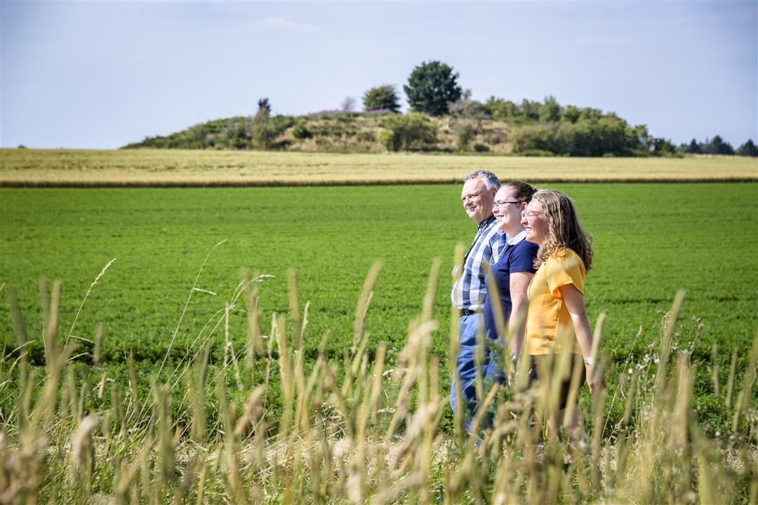
Your countryside walk between the villages of Overwinden and Waasmont begins at the Sinte Gitter archaeological site. Pepin of Landen (580–640) and his daughter Gertrudis may have lived here. There, you can see the exposed choir ruins of the first St. Gertrudis Church from the 8th century and the remains of Merovingian graves. You’ll also pass by Pepin’s Plattetombe, a Gallo-Roman burial mound, and Waasmont Castle with its beautiful garden.
Before you set out: This is a walk on a virtual hiking network. The junctions are not marked on the ground. Follow the hexagonal red-and-white signs bearing the name of the walk.
automatic translation
 nodes to follow
0 km
0.3 km
1.6 km
4.6 km
6.7 km
8.2 km
8.9 km
Tuesday, September 16, 2025 by Fons Onkelinxsomewhat monotonous walk on paved roads
automatic translation
Monday, August 7, 2023 by D.B.Nice quiet trail along open fields and nice views of fields. Also nice and special that you are suddenly in Wallonia :)
automatic translation



 Upgrade to Premium Plus


