 Hiking
 Login
Login More
More EN
EN Premium
Airfield Walk
automatic translation
10.9 km • Diest
 official route
7400 5 3/5
route offered by
 Addresse starting point (approximate)
Sint-Hubertuskerk, Sint-Hubertusplein, 3290 Schaffen
 signage
The route is fully signposted with nodes.
 Description
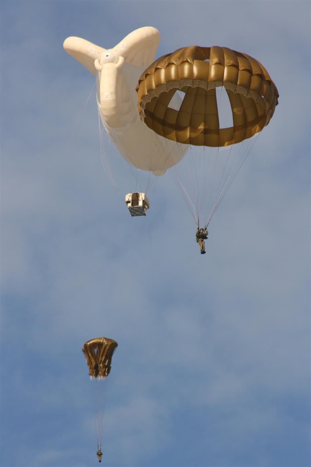
This walk takes you via the city walls and the station of Diest towards the airfield of Schaffen where, with a bit of luck, you can see the paratroopers jumping out of the zeppeling. Passing the farmstead 'Schans van Rode' you will be guided back to the village center of Schaffen.
This hike is offered by Tourism Flemish Brabant.
automatic translation
 nodes to follow
0 km
1.1 km
3 km
3.1 km
3.6 km
4 km
4.2 km
5.3 km
5.8 km
8.5 km
9.3 km
10 km
10.8 km
Sunday, June 23, 2024 by P.P.this route is not marked at point 97. 1 hour of walking around. for once we could enjoy the weather.... no. back to 99 on concrete. missed the best part.
automatic translation
Friday, May 10, 2024 by Alain VermeyenBeautiful walk....even hesitated at the detour sign...but otherwise highly recommended!
automatic translation
Tuesday, August 8, 2023 by Wendy SchuurmansIn itself a nice route, but several times detours that are not always well indicated... So we had to search... One part of the detour is a metal bridge with those grates, the dog cannot cross it, so we had to carry it. Too bad... Unfortunately also no parachutes seen today.
automatic translation
Monday, March 28, 2022 by G.V.The hike does not start out very promising, but once out of the village center you enter a hollow road, from node 97 you follow points of the GR. These are always top for me. At hiking point 338 it went wrong, wasn't very clear to me if I had to take left or straight on. Consequence straight on, so don't do it. Beautiful hike, nice variety.
automatic translation
Monday, October 18, 2021 by Carine JaekenA nice hike even though there were several paved roads to walk on, but we don't have a problem with that. Also occasional climbs and descents. In our case, the stretch between Junctions 98 and 97 was interrupted, but a detour was announced in time. Paratroopers by the dozen and that was also a sight to behold. No boots needed
automatic translation


 Upgrade to Premium Plus
