
 Hiking
 Login
Login
 More
More
 EN
EN
 Premium
Deurnewandeling
9.5 km • Diest
 official route
2.4491 0 0/5
9.5 km
0.0 km
0.0 km
route offered by

 Addresse starting point (approximate)
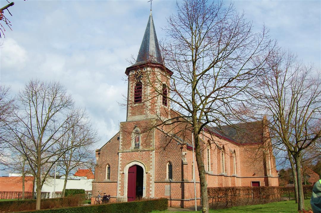
Sint-Engelbertuskerk, J. Sweygersstraat, 3290 Deurne
 signage
The route is fully signposted with nodes.
© Toerisme Vlaams-Brabant
 Description
Discover Deurne, the northernmost village in Flemish Brabant. Your walk through a gently rolling landscape of heathland and woods takes you right up to the border with Limburg. Along the way, you’ll enjoy beautiful views of the Hamelterre area; with a bit of luck, you might spot some sheep in the meadows. You’ll climb the 50-meter-high Rode Berg and the Oosterbergen hill, and you’ll pass the Kievitkasteeltje, a cube-shaped villa from the late 19th century with a turret.
automatic translation
 nodes to follow
0 km
0.3 km
2.1 km
3.6 km
6.9 km
7.5 km
8.4 km
9.2 km
9.5 km



 Upgrade to Premium Plus


