 Hiking
 Login
Login More
More EN
EN Premium
Deurn Walk
automatic translation
9.4 km • Diest
 official route
5280 0 0/5
9.4 km
0.0 km
0.0 km
route offered by
 Addresse starting point (approximate)
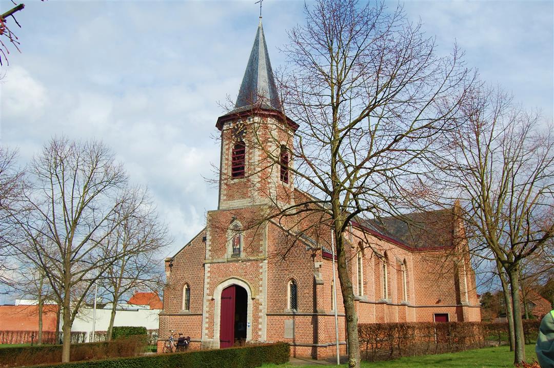
Sint-Engelbertuskerk, J. Sweygersstraat, 3290 Deurne
 signage
The route is fully signposted with nodes.
© Toerisme Vlaams-Brabant
 Description
The quiet village of Deurne has a gently rolling landscape that provides beautiful vistas. During this walk you overlook the area Hamelterre, a place where sheep can graze. The walk goes through heath and forest and leads you past the beautiful Kievitkasteeltje, surrounded by greenery.
This walk is offered by Tourism Flemish Brabant.
automatic translation
 nodes to follow
0 km
0.3 km
2.1 km
3.6 km
6.9 km
7.5 km
8.4 km
9.2 km
9.5 km


 Upgrade to Premium Plus
