
 Hiking
 Login
Login
 More
More
 EN
EN
 Premium
Avonturenpad Getevallei
3.9 km • Linter
 official route
1.6640 2 0.8/5
route offered by

 Addresse starting point (approximate)
Stationsplein, 3350 Drieslinter (Linter)
 signage
The route is fully signposted with nodes.
 Description
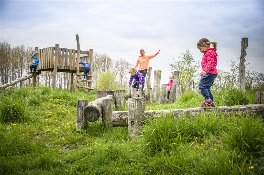
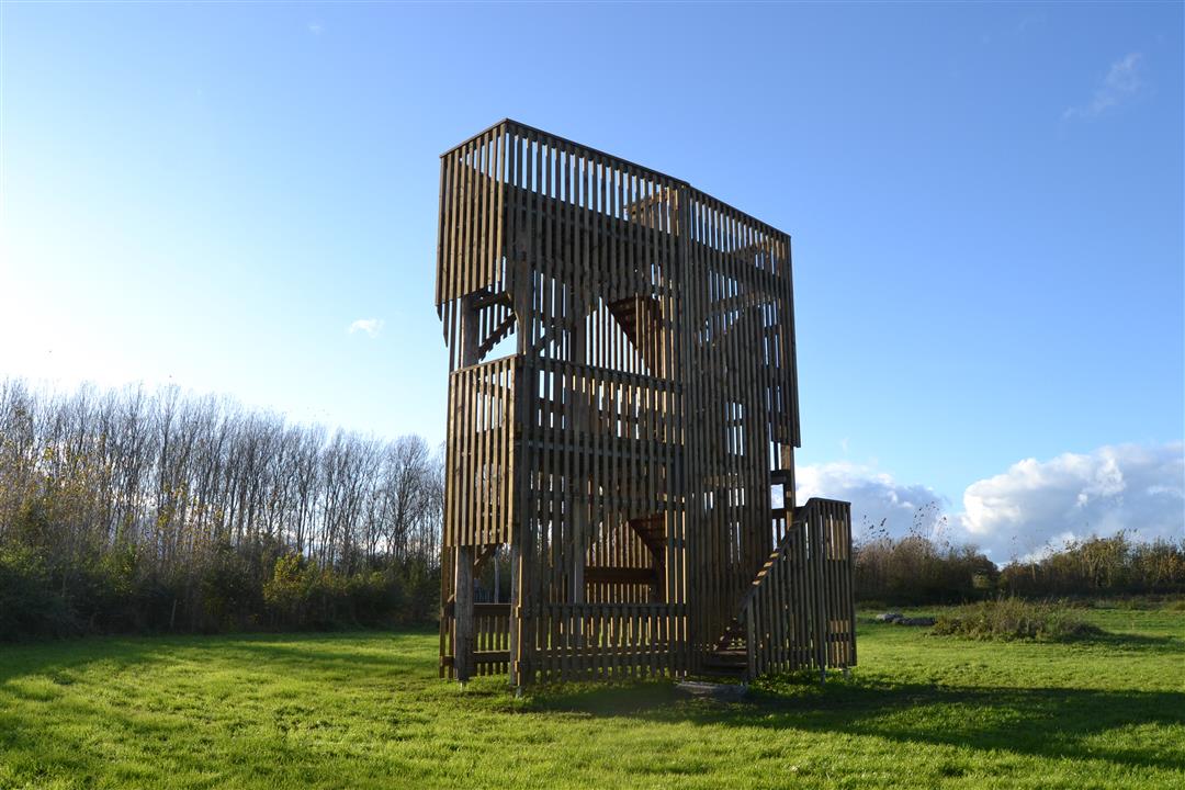
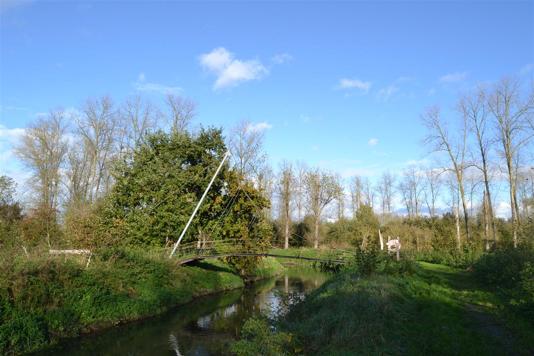
This hike invites young and old alike to discover the biodiversity of the Grote Gete Valley. In the play forest just past the starting point, you can scramble around like a dormouse, after which a spectacular suspension bridge, the “Golden Geet,” takes you across the Gete to the Getedraak. Want to enjoy the stars afterward? The campsite at the Kamsalamander Hut has space for a few tents for one night.
automatic translation
 nodes to follow
0 km
0.1 km
1 km
1.1 km
1.1 km
1.6 km
1.7 km
2.5 km
3.2 km
3.8 km
3.9 km
Sunday, August 20, 2023 by Luc PacoletBi the opening vh adventures/camsalamander trail the trails were well maintained.Now unfortunately no more limited passage high grass,nettles/thistles really disgraceful!!!!!
automatic translation
Friday, August 18, 2023 by V.M.Very poorly maintained. Never done such a bad walk before. Thought it was mow-mei-not but there apparently never mowed!
automatic translation



 Upgrade to Premium Plus


