 Hiking
 Login
Login More
More EN
EN Premium
Loan hedge walk
automatic translation
8.5 km • Zoutleeuw
 official route
8.5 km
0.0 km
0.0 km
route offered by
 Addresse starting point (approximate)
kruispunt Heerbaan-Jodenstraat, 3440 Budingen (Zoutleeuw)
 signage
The route is fully signposted with nodes.
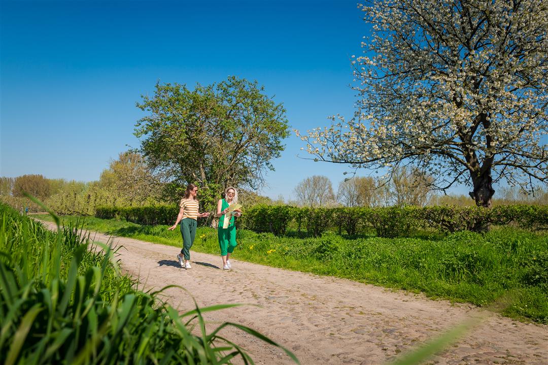
© Lander Loeckx
 Description
Climb the flank of the Gete Valley all the way to the highest point of Ransberg. From here, on a clear day, you have a phenomenal view of the entire valley region. You step through the nature reserve Tienbundersbos, through fruit orchards, fields, meadows and once in a while you come across a lonely farm on your way.
This walk is offered by Tourism Flemish Brabant.
automatic translation
 nodes to follow
0 km
0.3 km
0.9 km
1.6 km
2.2 km
3 km
3.3 km
4.5 km
5.2 km
6.9 km
8.3 km
8.4 km


 Upgrade to Premium Plus
