 Hiking
 Login
Login
 More
More
 EN
EN
 Premium
Maldegem field hiking trail
automatic translation
3.3 km • Maldegem
 official route
3.1557 2 4.8/5
 Addresse starting point (approximate)
Drongengoedweg, 9910 Maldegem
 signage
The route is fully signposted with nodes.
 Description
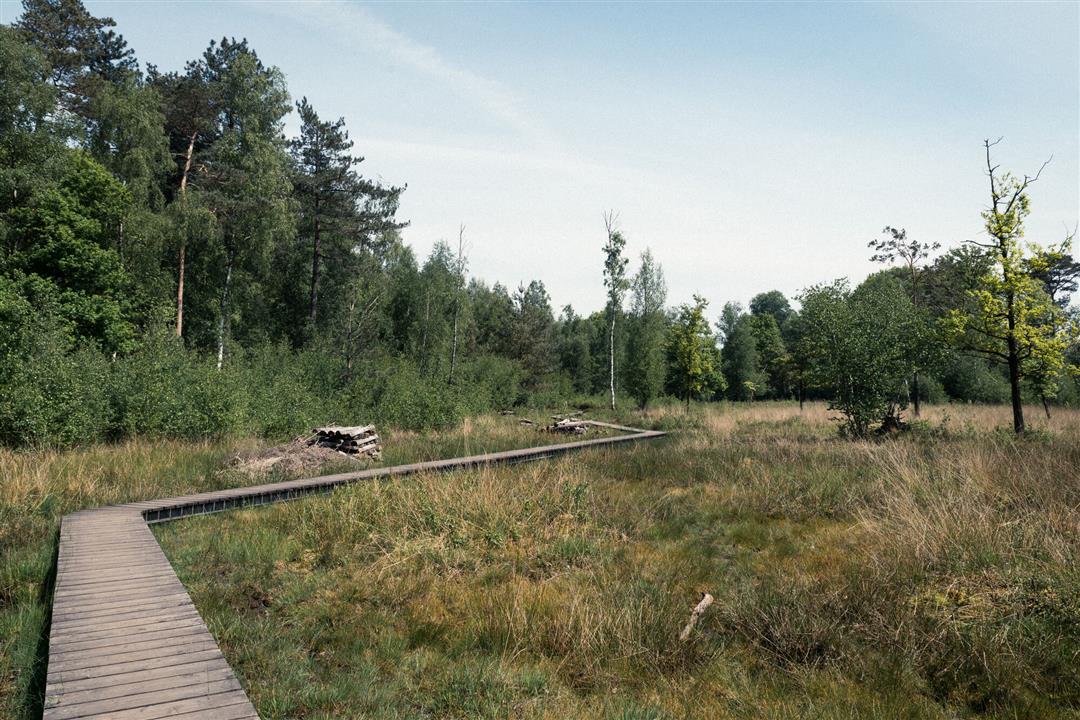
Healing, short hiking trail for people with chronic pains, report for Routen Magazine edition 2020. Also recommended for families with children.
TheMaldegemveld walking routeis offered to you byRouten, an initiative of Tourism East Flanders.
automatic translation
 nodes to follow
0 km
0.3 km
1.1 km
1.3 km
2.4 km
3.1 km
3.4 km
Monday, February 17, 2025 by S.D.Short but very beautiful! Ideal if you can't walk far and still want to feel like you've been away from it all! Seen herons and deer and few people.
automatic translation
Sunday, November 14, 2021 by V.G.This is a very beautiful piece of nature.
automatic translation


 Upgrade to Premium Plus
