 Hiking
 Login
Login
 More
More
 EN
EN
 Premium
Language border hiking trail
automatic translation
37.3 km • Ronse
 official route
4.44113 3 4.3/5
 Addresse starting point (approximate)
Populierstraat 2, 9600 Ronse
 signage
The route is fully signposted with nodes.
 Description
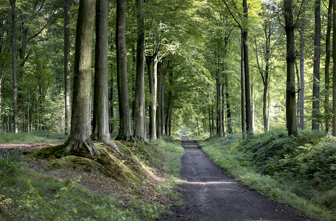
Between the Flemish Ardennes and the equally beautiful Pays des Collines in Hainaut, the invisible language border meanders through the landscape like a meandering river. Put on your step shoes and hop over the fence on this three-day walking holiday from B&B to B&B, along a stretch dotted with rolling hills and overwhelming vistas.
automatic translation
 nodes to follow
0 km
0.3 km
1.2 km
1.9 km
3.8 km
4.4 km
5.6 km
5.7 km
6.5 km
8 km
9.2 km
10.8 km
11.1 km
11.7 km
12.6 km
13 km
13.9 km
14.4 km
15 km
15.2 km
15.4 km
16.4 km
17 km
18.4 km
19.1 km
19.2 km
20.3 km
22.6 km
24.1 km
24.5 km
25.5 km
26.1 km
26.8 km
26.8 km
31.6 km
31.7 km
32.8 km
34.7 km
36.2 km
36.6 km
36.7 km
36.9 km
37.2 km
Sunday, April 25, 2021 by marc roggemanDear , if one wants to start at nr 58 this current address is incorrect. at this address there is a b&b, But in this area there is no hiking junction. Also here is almost no parking for cars. The hike starts in the Muziekbos at Boekzitting Ronse. And there is indeed a restaurant and parking enough.
automatic translation
Thursday, January 21, 2021 by Gil CeulemansWonderful hike! Sturdy and waterproof walking shoes are a requirement though. Nodes were clearly visible. We enjoyed it!
automatic translation
Wednesday, September 2, 2020 by willy ThielemansWe did the tour, a little shortened from point 86. It was very beautiful with the beautiful views and rural roads. From point 83 to 40 you may follow the Ravel route. 4 Km straight on asphalt, without a board to walk beside it. Occasionally, yes! This is NOT a hiking trail! The last stretch was again top notch. Therefore 3 stars.
automatic translation


 Upgrade to Premium Plus
