 Hiking
 Login
Login
 More
More
 EN
EN
 Premium
Dew trip hiking trail
automatic translation
28.7 km • Maarkedal
 official route
3.55011 3 3.8/5
 Addresse starting point (approximate)
Zottegemstraat 24, 9688 Maarkedal
 signage
The route is fully signposted with nodes.
 Description
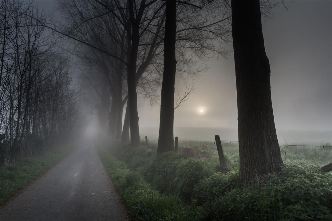
Low sun, white wisps of mist among the green hills: early in the morning the Flemish Ardennes are at their most beautiful. Those with vistas in their sights jump out of bed before dawn for an extra-long hike in and around magical Burreken. Keep your camera at the ready!
TheDew trip hiking trailis offered to you byRouten, an initiative of Tourism East Flanders.
automatic translation
 nodes to follow
0 km
0.1 km
2.8 km
4.3 km
5.6 km
6.1 km
7.2 km
7.4 km
7.7 km
9.5 km
10.7 km
12.1 km
13 km
14.3 km
15.8 km
16.7 km
17.8 km
18.9 km
19.6 km
20.2 km
20.7 km
23.1 km
23.7 km
23.8 km
28.5 km
Monday, August 4, 2025 by Annick PeetersVery nice route, highly recommended. Almost entirely on hiking trails and very little on the road. Very quiet and beautiful surroundings. You won't come across any stores or anything, though, so be sure to provide plenty of water and bring your picnic. Have fun!
automatic translation
Monday, June 28, 2021 by Jan DevriendtVery nice hike with lots of tough stretches.little on the main road.But you have to look carefully for the numbers because sometimes most of them are well hidden behind the bushes.Still I give an 8.5/10
automatic translation
Saturday, June 13, 2020 by I.C.Beautiful walk in nature and along fields and meadows with beautiful views, but it is recommended not to do it in the blazing sun, provide plenty of water and bring something to eat. The distance is not to be underestimated.
automatic translation


 Upgrade to Premium Plus
