 Hiking
 Login
Login
 More
More
 EN
EN
 Premium
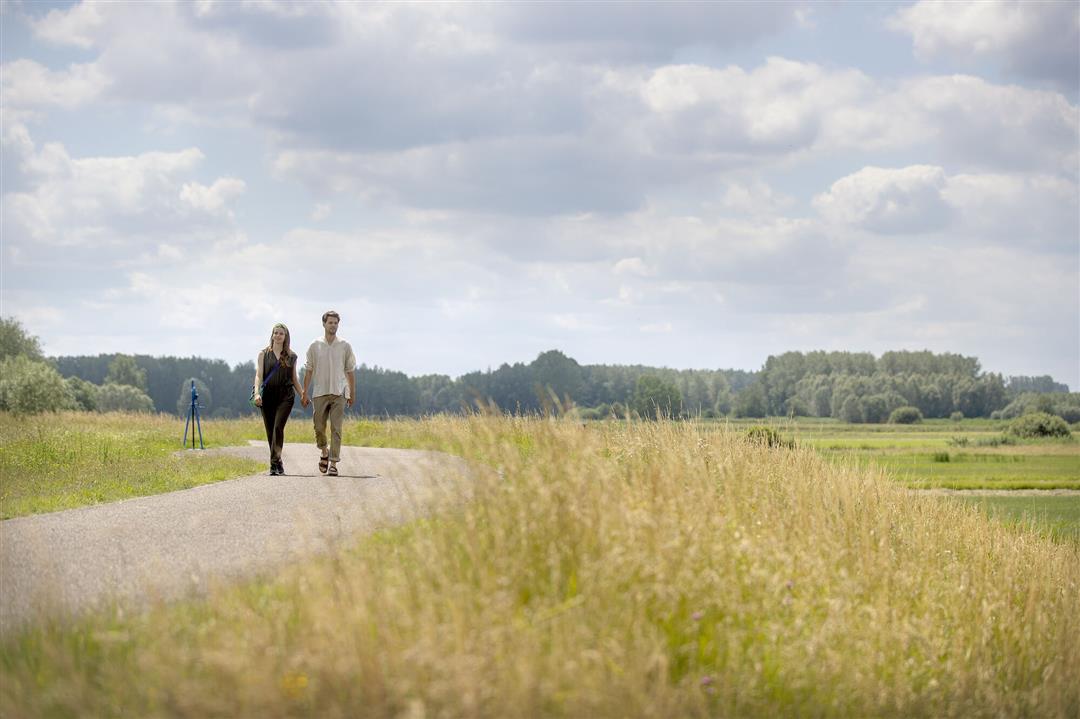
Water corner hiking trail
automatic translation
9.3 km • Berlare
 official route
8.27118 4 4/5
 Addresse starting point (approximate)
Waterhoek 25, 9290 Berlare
 signage
The route is fully signposted with nodes.
 Description
Nowhere along the Scheldt river is silence as tangible as in the Waterhoek, a hidden natural pearl between Berlare and Dendermonde. A dream movie setting, director Fons Rademakers also thought so, because he settled there in the seventies for his film 'Mira'.
The Waterhoek walking route is offered to you by Routen, an initiative of Tourism East Flanders.
automatic translation
 nodes to follow
0 km
0.4 km
1.3 km
1.7 km
2.3 km
3.4 km
3.8 km
3.8 km
4 km
4.9 km
6 km
6.4 km
6.5 km
6.7 km
7.1 km
7.9 km
8.3 km
9 km
9.1 km
9.3 km
Monday, February 22, 2021 by N.D.21.02.2021 - Nice walk along quiet roads, few cars seen. Fairly many cyclists though, especially on the Scheldedijk. You walk alternately on paved and unpaved paths; in Appels it even goes over a (narrow) plank path. We enjoyed it.
automatic translation
Sunday, February 21, 2021 by Jeff BrosensFor us, definitely not an outlier! After all, we are from Kalmthout! Mostly paved road. Many cyclists. The ferryman, far from friendly! Ok all hear but for us a six/ten.
automatic translation
Friday, November 13, 2020 by H.D.Very nice walk, not through the woods but through quiet roads! Highly recommended during spring and fall, be careful in full summer because a lot of roads have no protection from the sun. We will definitely do it again!
automatic translation
Saturday, June 27, 2020 by L.J.Very nice hike! Fine, quiet forest along the side of Apples, impressive wide landscape in Berlare, nice variety! The ferry crossing does not take long but ideal to take a break. Every half hour there is a crossing, except between 12h and 13h (well on Wednesday afternoon).
automatic translation


 Upgrade to Premium Plus
