 Hiking
 Login
Login
 More
More
 EN
EN
 Premium
Old Scheldt hiking trail
automatic translation
7 km • Laarne
 official route
6.7505 3 3.3/5
 Addresse starting point (approximate)
Kalkendorp 6, 9270 Kalken
 signage
The route is fully signposted with nodes.
 Description
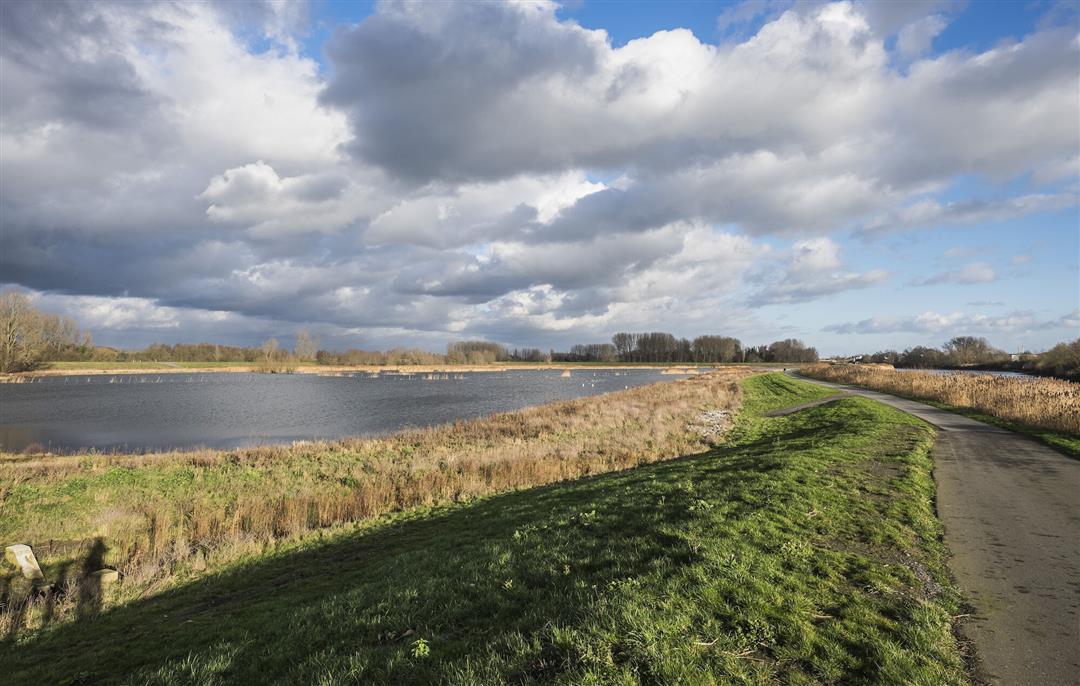
A good hundred meters past the village center of Kalken, you stand with both feet in the Kalkense Meersen. In this endless patchwork of meadows and grasslands, the inhabited world seems far away at times. In distance but also in time, as evidenced by the archaeological finds that continue to surface here.
The Old Scheldt walking routeis offered to you byRouten, an initiative of Tourism East Flanders.
automatic translation
 nodes to follow
0 km
1.1 km
2.4 km
2.9 km
3 km
4.7 km
4.7 km
4.7 km
5.2 km
5.9 km
6.9 km
Thursday, July 22, 2021 by C.P.Beautiful piece of nature! Easy parking near the church of Kalken and then it's off quickly towards fields & meadows, where farmers are currently bundling hay in abundance.... Lots of clearings...occasional shade from the trees anyway. (a challenge in wet weather); Nice and quiet trail-on the end of the hike several catering establishments!
automatic translation
Sunday, January 17, 2021 by W.K.It is a beautiful hike in nature starting at the church in Kalken. However, there are a lot of bad parts, real mud and sludge. So good solid walking shoes is a must. This also makes the hike less pleasant. Of course you can enjoy the Kalken lakes and the galloway cows in the beautiful nature.
automatic translation
Monday, January 4, 2021 by L.V.Very nice, but muddy hike. Quiet through the plains. We even spotted 2 deer. Highly recommended !
automatic translation


 Upgrade to Premium Plus
