 Hiking
 Login
Login More
More EN
EN Premium
Vlasroters hiking trail loop 4
automatic translation
6.7 km • Deinze
 official route
 Addresse starting point (approximate)
Ardense Jagerstraat, 9800 Gottem
 signage
The route is fully signposted with thematic signs (no nodes).
 Description
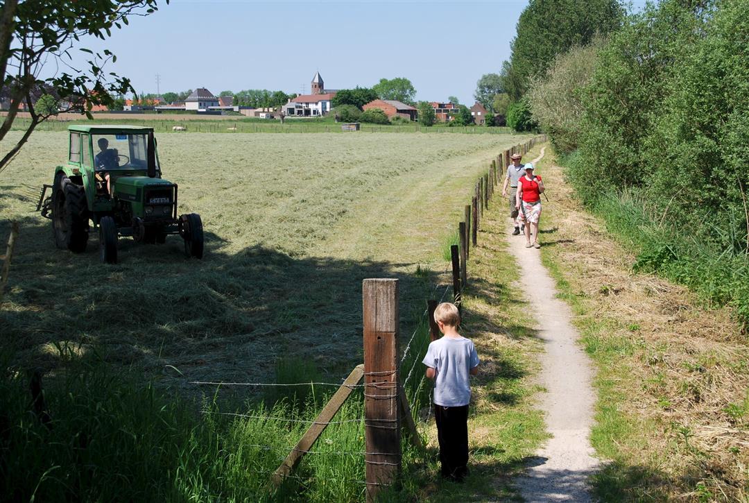
4 rural walks through and around the small flax villages of Deinze. In the past, plenty of flax was sown here, harvested and retted in the Leie River. 'Rooting' refers to the process of exposing the flax to moisture after drying. Definitely do on Sunday: take a break at the Sint Canarus brewery with a tasty Sint Canarus beer.
The Vlasroters walking route loop 4 is offered to you by Routen an initiative of Tourism East Flanders.
automatic translation
Thursday, January 5, 2023 by Pascal De SchepperWe liked this hike. Rural, well-traveled concrete roads and a stretch of dirt (along the Lys) that can be a bit muddy.
automatic translation
Saturday, November 21, 2020 by johan van lanckerPure concrete walk, not a meter unpaved though along rural concrete roads, and 3m cobblestones.
automatic translation


 Upgrade to Premium Plus
