 Hiking
 Login
Login
 More
More
 EN
EN
 Premium
Barbier Brook hiking trail
automatic translation
8.5 km • Beveren-Kruibeke-Zwijndrecht
 official route
7.06620 2 3.8/5
 Addresse starting point (approximate)
O.L.Vrouwplein 4, 9150 Beveren-Kruibeke-Zwijndrecht
 signage
The route is fully signposted with thematic signs (no nodes).
 Description
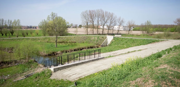
Start and finish at the church of Kruibeke. Walking route along the northern point of the Polders of Kruibeke. Here ebb and flow gets free play, part of the area is flooded daily.
The Barbierbeek hiking trail is offered to you by Routen, an initiative of Tourism East Flanders.
automatic translation
Friday, December 25, 2020 by Frank Van rietVery nice walk, but beware, after 4 km on the dike you have to turn right, there is a pole with signs, you have to follow barbierkreek, the sign of the signage itself is pulled off. we walked right past it and only after 2km realized that something was wrong, soon downloaded the route via the app and that gave clarity
automatic translation
Tuesday, December 15, 2020 by M.B.Beautiful and well arrowed hike, overlapping the Kruibeek Creeks. Definitely take the detour via the Boot Trail along the way.
automatic translation


 Upgrade to Premium Plus
