 Hiking
 Login
Login
 More
More
 EN
EN
 Premium
Between ferry and vliet hiking trail
automatic translation
11.7 km • Schelle
3.7243 2 2.8/5
route offered by
Toerisme Provincie Antwerpen
 Addresse starting point (approximate)
Tolhuisstraat, 2627 Schelle
 signage
The route is fully signposted with nodes.
 Description
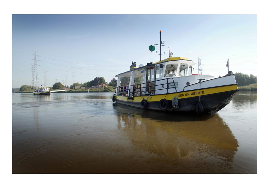
Schelle and Scheldt go hand in hand, although you will also find the tributaries Rupel, Vliet and Wullebeek. During your walk, the omnipresent water will show you the way past natural beauty and unique heritage in the beautiful river landscape.
Fan of folk tales and legends? Then use the handy walking brochure to enliven your walk with the often mysterious and inexplicable stories. In the leading role: white guises, the 'curser' and Our Lady.
automatic translation
 nodes to follow
0 km
2.7 km
2.9 km
5 km
5.9 km
7.1 km
7.8 km
8.4 km
10.8 km
10.9 km
10.9 km
11.6 km
Monday, May 31, 2021 by Henri SwinnenMore than half, of the total distance of the hike is on concrete, through residential areas and a city area. Also the starting point is not easy to find for inexperienced hikers. a better starting point could be e.g. the restaurant-café "Het Veerhuis". some roads are taken by cyclists....
automatic translation
Friday, November 27, 2020 by J.D.This walk is beautiful, but a large part of it goes straight through the city center, not really pleasant to walk, but is made up for by the parts through nature.
automatic translation


 Upgrade to Premium Plus
