 Hiking
 Login
Login
 More
More
 EN
EN
 Premium
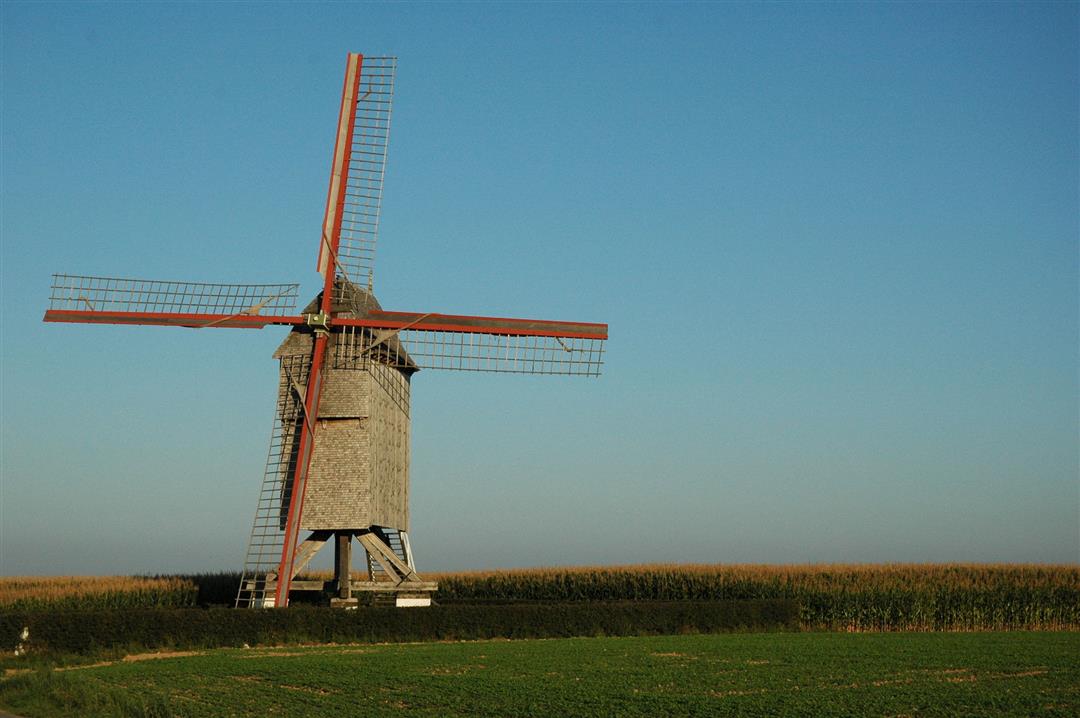
Mills of Zwalm hiking trail
automatic translation
9.7 km • Zwalm
 official route
7.3269 3 3.5/5
 Addresse starting point (approximate)
Franskouter, 9630 Zwalm
 signage
The route is fully signposted with nodes.
 Description
The Flemish Ardennes has invested heavily in its hiking infrastructure and now has more than 850 kilometers of interconnected hiking trails. This hike introduces you to Flanders' Most Beautiful Landscape via our hiking nodes. You can choose to walk the full route or explore one of the shorter loops. Have fun!
The Mills of Zwalm walking routeis offered to you byRouten, an initiative of Tourism East Flanders.
automatic translation
 nodes to follow
0 km
0.3 km
1.4 km
1.8 km
2.3 km
3.3 km
4 km
5.1 km
6 km
6.8 km
8.7 km
9.6 km
Saturday, December 28, 2024 by B.D.Beautiful route, but the name is misleading. On the whole route there is only 1 mill to be seen, the finch mill. Maybe change the name of the route?
automatic translation
Monday, December 7, 2020 by F.L.saw 1 water mill, probably the most boring route of the beautiful swalm region
automatic translation
Thursday, November 26, 2020 by johan van lanckerBeyond all expectations very beautiful hike, where everything is used to the fullest !!!
automatic translation


 Upgrade to Premium Plus
