 Hiking
 Login
Login
 More
More
 EN
EN
 Premium
Between Helix and Forest Mountain hiking trail
automatic translation
11.4 km • Galmaarden
 official route
5.3987 2 4/5
 Addresse starting point (approximate)
Kapellestraat 35, 9500 Geraardsbergen
 signage
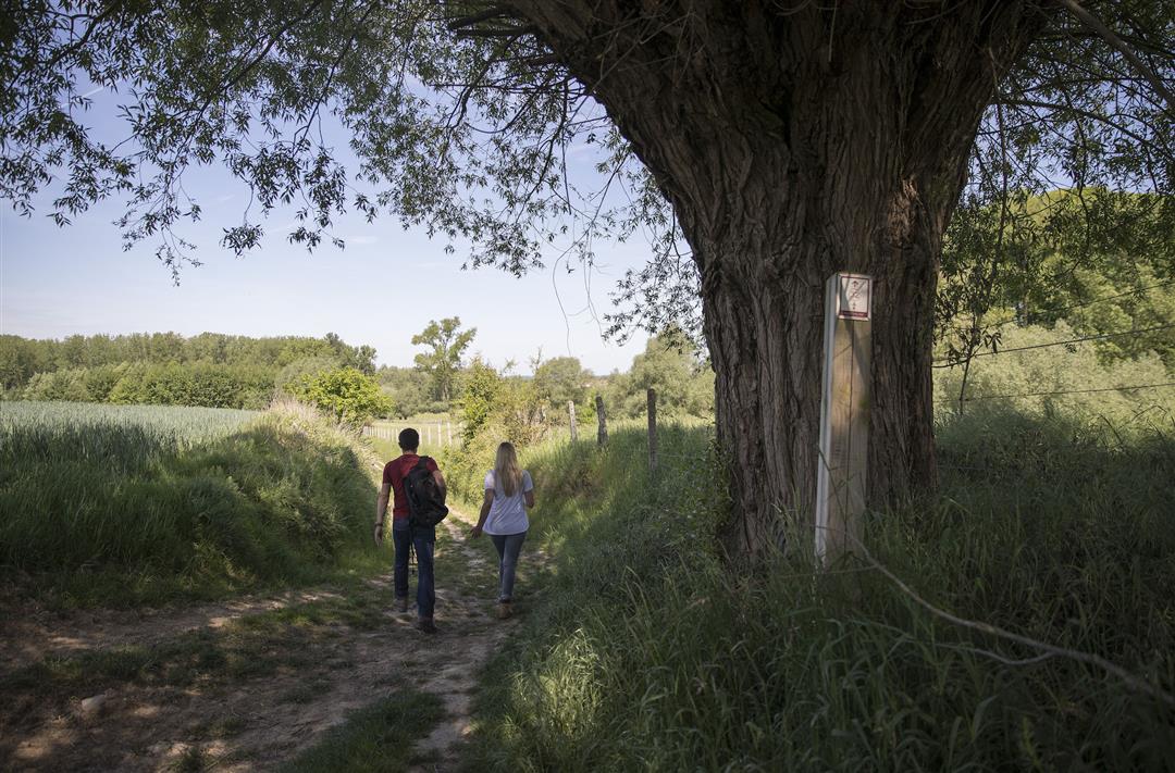
The route is fully signposted with nodes.
 Description
The Flemish Ardennes has invested heavily in its hiking infrastructure and now has more than 850 kilometers of interconnected hiking trails. This hike introduces you to Flanders' Most Beautiful Landscape via our hiking nodes. You can choose to walk the full route or explore one of the shorter loops. Have fun!
TheBetween Helix and Bosberg hiking trailis offered to you byRouten, an initiative of Tourism East Flanders.
automatic translation
 nodes to follow
0 km
0.9 km
1.6 km
1.9 km
2.2 km
2.7 km
3.2 km
5.3 km
6.8 km
7 km
8.9 km
9.6 km
11 km
11.2 km
11.4 km
Sunday, March 28, 2021 by Willy De Regge-HeyseBeautiful, varied hike. Beautiful views and also nice passages through the woods. Now and then a substantial climb. Highly recommended. Attention from KP 40 to KP39 a sign KP40 (broken by a car) is missing at the exit of a neighborhood. Just cross the lane and 500 meters further you will have a sign 40 on the left again.
automatic translation
Sunday, June 7, 2020 by Maxim StroobantOnly did the 1st loop, cool hike, only comment is that there are fairly many verhadre roads. Still happy with the route.
automatic translation


 Upgrade to Premium Plus
