 Hiking
 Login
Login
 More
More
 EN
EN
 Premium
Molsbroek-Buylaers hiking trail
automatic translation
9.6 km • Lokeren
 official route
5.9018 5 3.9/5
 Addresse starting point (approximate)
Markt 2, 9160 Lokeren
 signage
The route is fully signposted with thematic signs (no nodes).
 Description
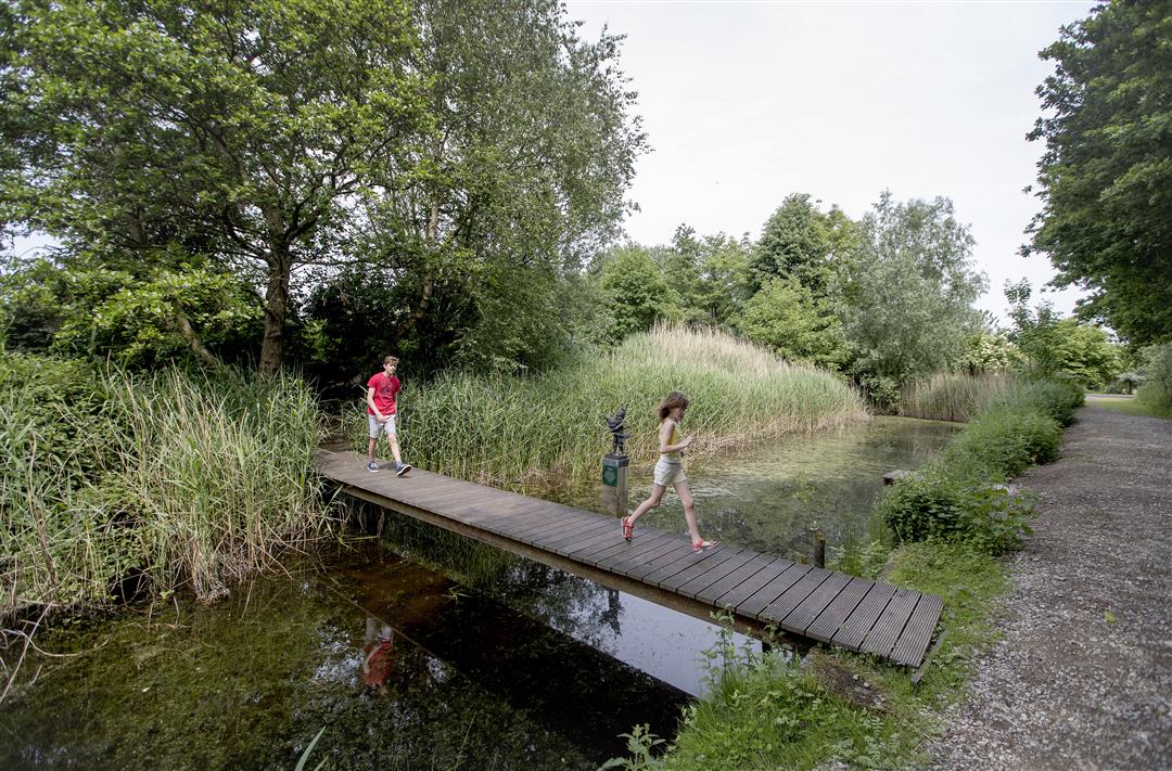
This loop from Lokeren takes you through two nature reserves a stone's throw from the city center. Especially the dike around the Molsbroek is ideal terrain for wheelchair users. The Durme runs like a thread through this hike.
automatic translation
Monday, April 27, 2026 by B.M.I think it's absolutely beautiful, but right now you can't complete the entire walk because of construction on the towpath in both directions. I'll definitely try again once the work is finished.
automatic translation
Monday, June 13, 2022 by pascal de maesschalckVery nice walk, especially around the reserve, along the Durme though crowded with cyclists
automatic translation
Tuesday, May 18, 2021 by E.M.Nice hike, pleasantly surprised by the beautiful natural area and bird nesting site. At the beginning of the hike we did get lost for a while because there are no more clues, but eventually got back on the right path with a small detour. Hike is only 10 km with detour though! But definitely recommended.
automatic translation
Saturday, April 24, 2021 by Frans Van avermaetfrom the starting point you walk to the river durme on the dike until you turn left through the park,from there you have +-a km unpaved but well passable road the rest is paved road.also nice for bird watchers, for the molsbroek I give five stars,connect me to previous comment I did go early in the morning.
automatic translation
Monday, November 16, 2020 by F.V.Beautiful walk along Durme and Molsbroek. Beautiful views and a paradise for the bird lover. Quite crowded during the weekend. Should link up with the rest of the hiking nodes in the Waasland region.
automatic translation


 Upgrade to Premium Plus
