 Hiking
 Login
Login
 More
More
 EN
EN
 Premium
Thornhammeke hiking trail
automatic translation
5.6 km • De Pinte
 official route
8.7778 3 4.2/5
 Addresse starting point (approximate)
Dorp, 9840 Zevergem, Belgium
 signage
The route is fully signposted with thematic signs (no nodes).
 Description
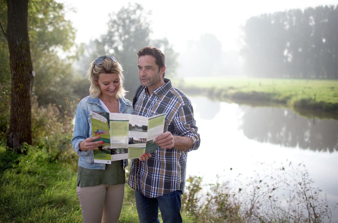
A remarkable hiking route in the Leie region, along the Scheldt. The Doornhammeke is a Scheldemeander, known as a fishing water and nature reserve. Obligatory stops: the stately causeway at the castle of Welden and the pretty hamlet of Zevergem, one of the oldest primal villages along the Scheldt.
TheDoornhammeke walking routeis offered to you byRouten, an initiative of Tourism East Flanders.
automatic translation
Thursday, May 1, 2025 by Patricia De VosBeautiful route, much of it along waterways. along the way there also appeared to be a large nice picnic table with benches and a catering facility(De Ponthoeve) which I did not use this time. But the terrace looked spacious and cozy!
automatic translation
Monday, January 30, 2023 by C.C.Nice hike, highly recommended!
automatic translation
Monday, May 24, 2021 by Ben PhilipsStart at Zevergem church at the walk sign. Well signposted and 80% paved paths. The remaining paths are good to very good and in dry weather also doable with baby carriage and wheelchair. Quiet environment with a stretch on the dike where there can be some bicycle traffic on weekends. Quiet and beautiful. Distance correct 5.6 km.
automatic translation


 Upgrade to Premium Plus
