 Hiking
 Login
Login
 More
More
 EN
EN
 Premium
Battle of Gavere hiking trail
automatic translation
7.3 km • Gavere
 official route
7.4395 4 3.5/5
 Addresse starting point (approximate)
Markt 1, 9890 Gavere
 signage
The route is fully signposted with thematic signs (no nodes).
 Description
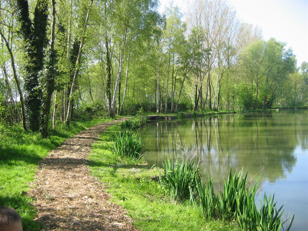
Walk past monuments and places that recall the tragic Battle of Gavere (1453) and across the valley of the Upper Scheldt and the Scheldemeersen. On the hilltop of Semmerzake, you'll contemplate the lakes in all their glory.
The Battle of Gavere hiking trail is offered to you by Routen, an initiative of Tourism East Flanders.
automatic translation
Friday, April 3, 2026 by Danny DecroockA very beautiful and peaceful walking route, with about 1 km of muddy terrain after rain. Convenient parking is available at the sports complex in Gavere, behind the GB.
automatic translation
Sunday, May 16, 2021 by A.V.Already done many beautiful hiking trails through this site, but we did not find this hike worthwhile. A lot in built-up areas or view of industry along the Scheldt. Not recommended.
automatic translation
Tuesday, December 8, 2020 by F.L.pleasantly surprised by this beautiful and relaxing walk in nature!
automatic translation
Wednesday, November 18, 2020 by G.M.A very pleasant hiking trail. Buggyproof and also for the inexperienced hiker. Pay attention! At the end of the Sint-Pietersstr. in Semmerzake: cross the road but because of a bend in the road you cannot see the oncoming traffic. Parking: Sportdreef, Gavere. The sign is at the beginning of the Sportdreef on the lamppost, almost in the hedge.
automatic translation


 Upgrade to Premium Plus
