 Hiking
 Login
Login
 More
More
 EN
EN
 Premium
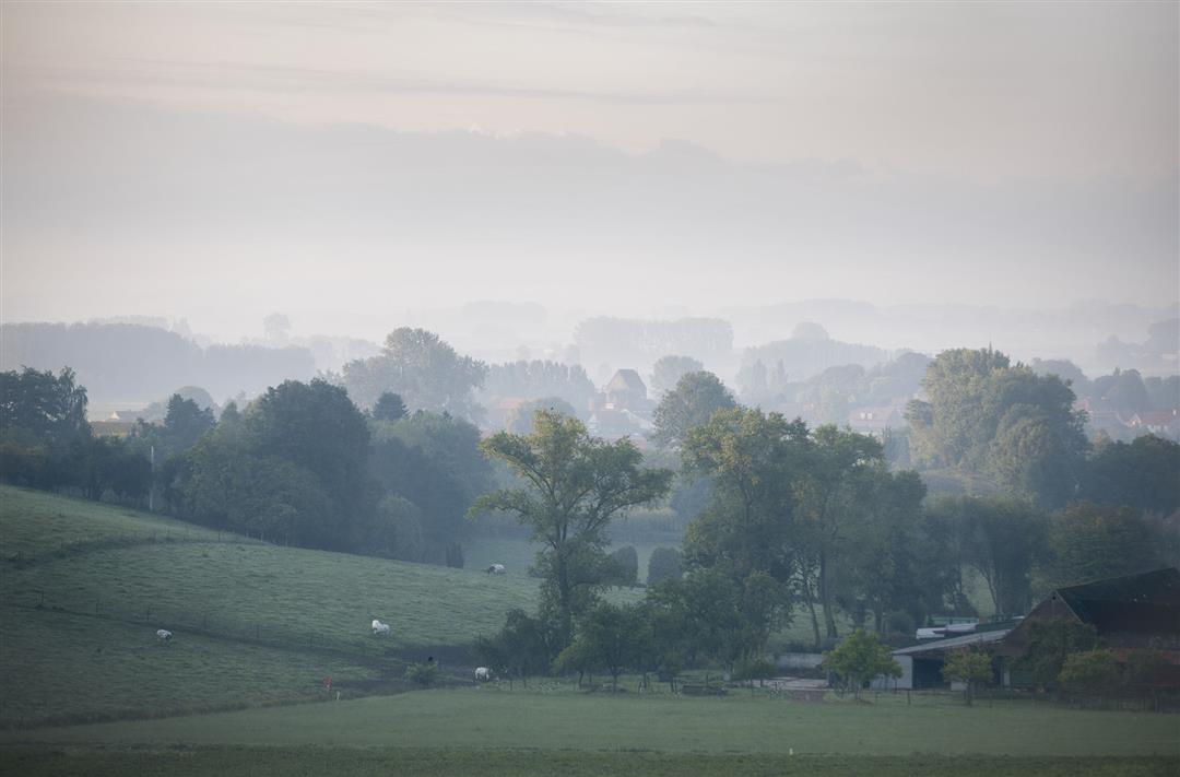
On the roof of the Flemish Ardennes hiking trail
automatic translation
6.5 km • Ronse
 official route
9.13223 10 4.6/5
 Addresse starting point (approximate)
Zandstraat 4, 9690 Kluisbergen
 signage
The route is partially signposted with nodes. Use a GPS device or our app to follow the route through virtual nodes.
 Description
The Flemish Ardennes has invested heavily in its hiking infrastructure and now has more than 850 kilometers of interconnected hiking trails. This hike introduces you to Flanders' Most Beautiful Landscape via our hiking nodes. You can choose to walk the full route or explore one of the shorter loops. Have fun!
TheOn the roof of the Flemish Ardennes hiking trailis offered to you byRouten, an initiative of Tourism East Flanders.
automatic translation
 nodes to follow
0 km
0.2 km
0.7 km
1.3 km
2.7 km
3.2 km
3.7 km
4 km
4.4 km
4.9 km
6.4 km
Friday, March 6, 2026 by Ilse Van den BrandeA lovely walk. Plenty of variety. And then you end up at the restaurant (Hotond) where you started! Great!
automatic translation
Thursday, January 15, 2026 by Tim GlorieuxNice! One piece of annoying asphalt.
automatic translation
Sunday, April 27, 2025 by K.G.What a great hike! very relaxing. There are some elevations but with the views you get every time, it is well worth it!
automatic translation
Thursday, May 9, 2024 by P.G.Very nice hike in a beautiful setting in the middle of nature.
automatic translation
Wednesday, November 3, 2021 by D.J.One of my favorite walks. Variation at its best. Beautiful views, quite difficult though. In previous rains sometimes a lot of mud and slippery. Recommended.
automatic translation
Sunday, January 17, 2021 by B.C.Nice varied walk, only 500m on asphalt. Through woods and meadows, beautiful views, highly recommended. In wetter periods a lot of mud so adapted footwear.
automatic translation
Sunday, December 27, 2020 by B.J.Beautiful route!definitely recommended for Kids. Not recommended for baby carriage.
automatic translation
Saturday, November 28, 2020 by B.E.Very nice walk, with quite a bit of relief. A few hundred meters on a slightly larger road, but mostly on country roads, through fields and through woods. Recommended. Probably a little more difficult for those who do not have good legs.
automatic translation
Monday, November 9, 2020 by N.N.very nice hike, but is a calf-biter up and around Hotond Mountain
automatic translation
Sunday, August 2, 2020 by Marieke DeclercqNice walk through fields and forest
automatic translation


 Upgrade to Premium Plus
