 Hiking
 Login
Login
 More
More
 EN
EN
 Premium
Wall of Geraardsbergen hiking trail
automatic translation
11.5 km • Geraardsbergen
 official route
5.99110 2 3.8/5
 Addresse starting point (approximate)
Hoogvorst 2, 9500 Geraardsbergen
 signage
The route is fully signposted with nodes.
 Description
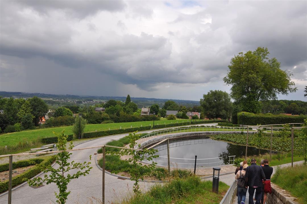
The Helix in the Stiltegebied Dender-Mark is an anchorage for all those who care about nature. Walk over the Bosberg - the highest point of the Raspaille Forest - known as the final climb of the Tour of Flanders and the Muur van Geraardsbergen. Here, enjoy the sweeping views and delicacies the town has to offer. Between the slopes you dive into open space, with beautiful views of rolling fields and meadows.
The Wall of Geraardsbergen hiking trail is offered to you byRouten, an initiative of Tourism East Flanders.
automatic translation
 nodes to follow
0 km
1.4 km
1.6 km
2.6 km
3.8 km
4.1 km
4.7 km
5.5 km
5.5 km
6.8 km
7.1 km
8.6 km
9.2 km
10.4 km
10.7 km
10.9 km
11.5 km
Friday, January 8, 2021 by Caroline De CockAt the start with node 29 there is a nice, small parking lot. The first +/- 3km through the forest are steep in the beginning. Furthermore, you sometimes have to go through a village or along a busier road for too long for my liking. The best part is that after 7km you are on the wall of Geraardsbergen. Quiet, few people.
automatic translation
Wednesday, August 5, 2020 by Walter SchurenBeautiful varied route through forest and open fields. We started at the Driepikkel. A parking lot near node 50. Lots of space and not crowded. The Bosberg is then a nice place for a stop. This route is very worthwhile.
automatic translation


 Upgrade to Premium Plus
