 Hiking
 Login
Login
 More
More
 EN
EN
 Premium
Nen Nielse Oemweg hiking trail
automatic translation
9.5 km • Niel
4.0718 3 3/5
route offered by
Toerisme Provincie Antwerpen
 Addresse starting point (approximate)
Ridder Berthoutlaan 1, 2845 Niel
 signage
The route is fully signposted with nodes.
 Description
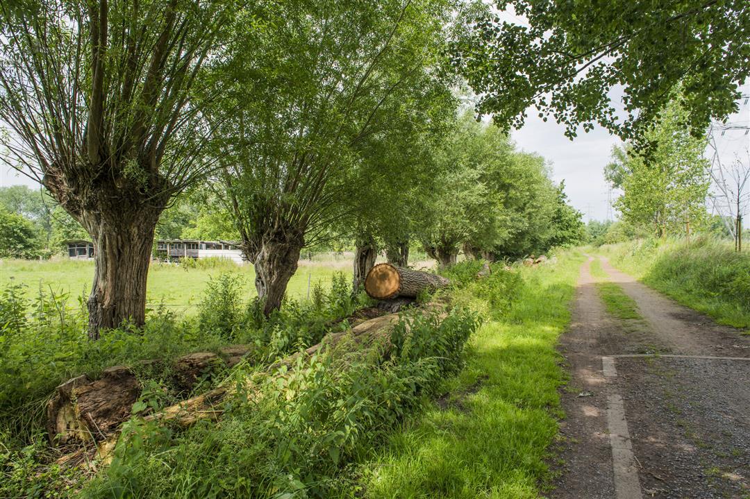
Nature, heritage art give this walk a very special character. Near the Rupel you will discover the stone-brick hamlet of Hellegat. Wetlands you will discover in the Niels Broek and Walenhoek. Colorful extra along the way: the contemporary artworks of the Yellow Brick Road project.
automatic translation
 nodes to follow
0 km
0.8 km
0.9 km
0.9 km
1.4 km
2 km
2.8 km
4.7 km
5.1 km
5.5 km
5.8 km
6.2 km
6.9 km
7 km
7.1 km
7.4 km
7.9 km
8.4 km
9.6 km
Saturday, January 2, 2021 by Michel VMWalk with too little natural area and too much asphalt.Nice bit of forest at the end,but short...Well marked.
automatic translation
Sunday, December 20, 2020 by Kimberley StrijbosThis route was okay. It was a little too much past houses for us instead of in natural areas. The last bit of forest (next to grazing area of Galloway cattle) was lol though.
automatic translation
Saturday, November 14, 2020 by Leo BergmansBeautiful route with variety. Well marked.
automatic translation


 Upgrade to Premium Plus
