 Hiking
 Login
Login
 More
More
 EN
EN
 Premium
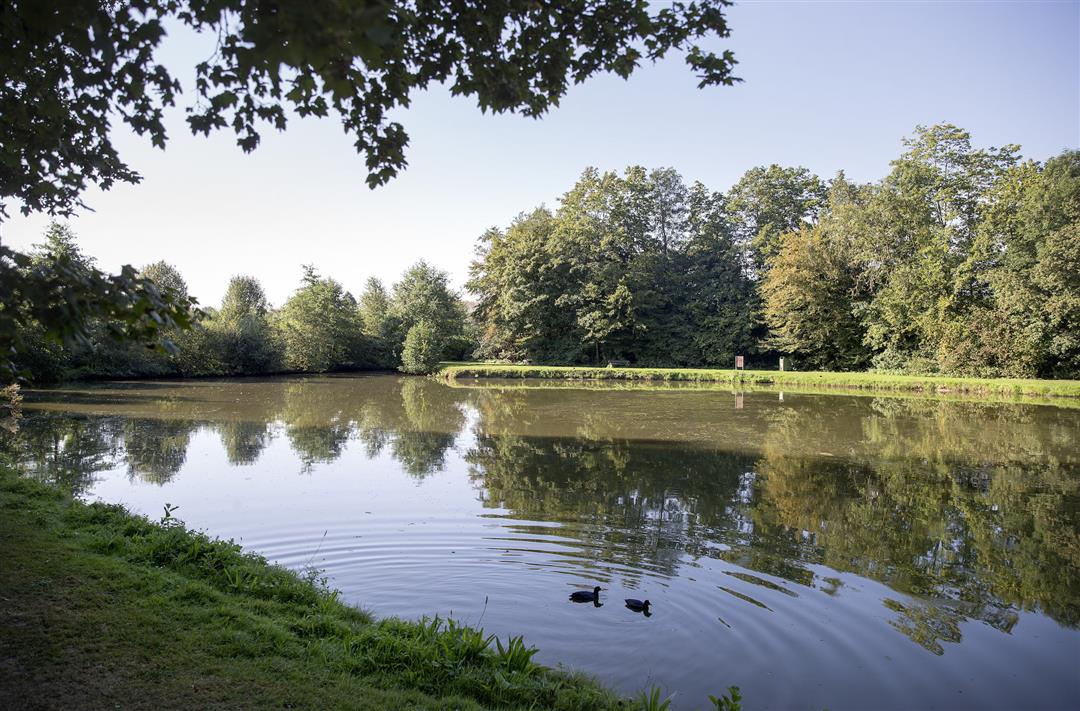
Along Gavers and Nuchten hiking trail
automatic translation
14.5 km • Geraardsbergen
 official route
3.7864 1 0.5/5
14.5 km
0.0 km
0.0 km
 Addresse starting point (approximate)
Onkerzelestraat 280, 9500 Geraardsbergen
 signage
The route is fully signposted with nodes.
© Toerisme Oost-Vlaanderen
 Description
The Flemish Ardennes has invested heavily in its hiking infrastructure and now has more than 850 kilometers of interconnected hiking trails. This hike introduces you to Flanders' Most Beautiful Landscape via our hiking nodes. You can choose to walk the full route or explore one of the shorter loops. Have fun!
automatic translation
 nodes to follow
0 km
1.2 km
1.8 km
2.8 km
2.9 km
3.4 km
4 km
9.1 km
10.9 km
12.1 km
12.7 km
13.2 km
13.3 km
14.4 km


 Upgrade to Premium Plus
