 Hiking
 Login
Login
 More
More
 EN
EN
 Premium
't Burreken hiking trail
automatic translation
15.1 km • Maarkedal
 official route
8.5987 9 4.1/5
 Addresse starting point (approximate)
Essestraat 1, 9688 Maarkedal
 signage
The route is fully signposted with nodes.
 Description
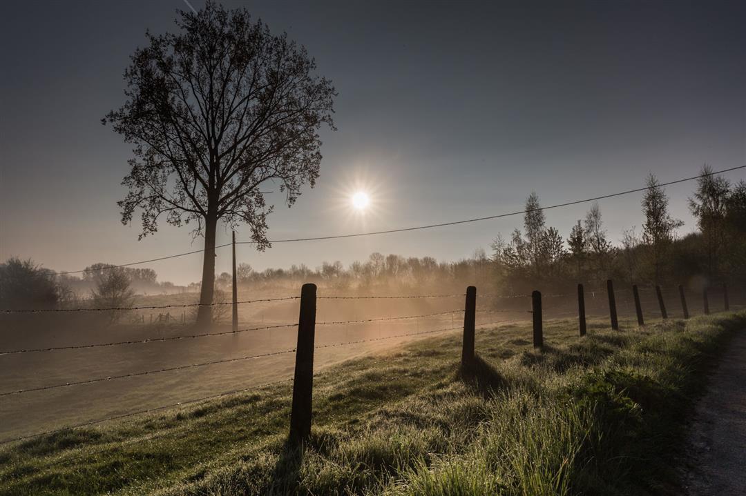
The Flemish Ardennes has invested heavily in its hiking infrastructure and now has more than 850 kilometers of interconnected hiking trails. This hike introduces you to Flanders' Most Beautiful Landscape via our hiking nodes. You can choose to walk the full route or explore one of the shorter loops. Have fun!
The't Burreken hiking trailis offered to you byRouten, an initiative of Tourism East Flanders.
automatic translation
 nodes to follow
0 km
0.1 km
2.8 km
3.4 km
5.8 km
5.9 km
7.5 km
8.2 km
9.2 km
9.5 km
10.3 km
15.1 km
Tuesday, November 11, 2025 by Danie KiekensBeautiful walk much in the green panoramic views, highly recommended who walks with dog
automatic translation
Sunday, May 18, 2025 by An CochezVery nice varied hiking trail through forest, meadows , decking. Everything perfectly indicated. Not ideal during wet periods .Along the way you can drink something. Beautiful views.
automatic translation
Monday, January 30, 2023 by C.C.OK hiking trail, but better trails can be found nearby. A little too much along paved roads. 2 signs are missing so be careful not to miss out. Currently very muddy/slippery in some places (shoes with good grip are needed!).
automatic translation
Sunday, February 21, 2021 by B.C.21/02, nice varied (forest, open versus field, paved versus thankfully much unpaved) hike close to or through the unique Burreken nature preserve, some muddy but never a problem. Walk easily halved by crossing 21/15. Highly recommended !
automatic translation
Sunday, February 14, 2021 by J.V.just a little too much pavement, in the snow I found this walk 5 stars. unfortunately from point 15 towards 7 I think the pole is wrong.... it indicates direction 7 right through a meadow, which made us walk completely wrong.
automatic translation
Saturday, December 26, 2020 by Caroline De CockWonderfully challenging hike. Some roads are very soggy so sturdy, waterproof shoes are a must. At the intersection with Foreest and Hesse streets, a sign pointing to junction 14 is missing but is marked with alcohol marker.
automatic translation
Monday, November 9, 2020 by A.V.Beautiful hike. Up and down, but the scenery is so beautiful. Well marked. Had no problem with a junction.
automatic translation
Monday, November 2, 2020 by P.V.Nice route , but too much through farmland there are plenty of forests . NR 15 missing sign .
automatic translation
Wednesday, July 29, 2020 by Leen Verstraete Beautiful trail, very varied, in rolling countryside with occasional beautiful views ...
automatic translation


 Upgrade to Premium Plus
