 Hiking
 Login
Login
 More
More
 EN
EN
 Premium
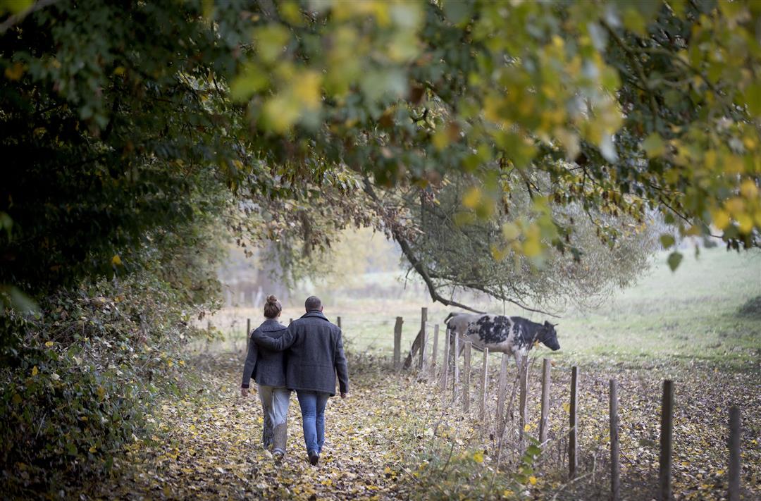
Along the springs of the Zwalm River hiking trail
automatic translation
10 km • Brakel
 official route
5.5343 3 3.7/5
 Addresse starting point (approximate)
Sint-Martinusstraat, 9960 Brakel
 signage
The route is fully signposted with nodes.
 Description
The Flemish Ardennes has invested heavily in its hiking infrastructure and now has more than 850 km of interconnected hiking trails. This hike introduces you to Flanders' Most Beautiful Landscape via our nodes. Have fun!
The Along the sources of the Zwalm hiking trail is offered to you by Routen, an initiative of Tourism East Flanders.
automatic translation
 nodes to follow
0 km
1.7 km
3.3 km
3.7 km
4.1 km
4.6 km
5.4 km
5.6 km
5.6 km
6.5 km
8.2 km
9.1 km
9.9 km
Thursday, November 7, 2024 by R.D.This walking route is not for me to repeat, too often between houses, from one street to another street with houses, there are also beautiful nature pieces and paths, but still a little too many paved roads, too many houses, buildings I find too little rest.
automatic translation
Wednesday, December 8, 2021 by P.D.Did this hike with the dog. Fairly muddy with the rainfall of the last few days but definitely recommended! Lots of unpaved trails, and where you have to enter the road virtually traffic-free (except for two crossings).
automatic translation
Sunday, December 13, 2020 by N.D.Very nice, varied hike. Just make sure you have good shoes that can withstand mud! We weren't really prepared for that. That produced some hilarious moments with the kids.
automatic translation


 Upgrade to Premium Plus
