 Hiking
 Login
Login
 More
More
 EN
EN
 Premium
Along streams and poems hiking trail
automatic translation
11.1 km • Geraardsbergen
 official route
5.5216 4 4/5
 Addresse starting point (approximate)
Zarlardingeplein, 9500 Geraardsbergen
 signage
The route is fully signposted with nodes.
 Description
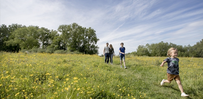
The Flemish Ardennes has invested heavily in its hiking infrastructure and now has more than 850 kilometers of interconnected hiking trails. This hike introduces you to Flanders' Most Beautiful Landscape via our hiking nodes. You can choose to walk the full route or explore one of the shorter loops. Have fun!
TheAlong streams and poems hiking trailis offered to you byRouten, an initiative of Tourism East Flanders.
automatic translation
 nodes to follow
0 km
1.2 km
1.2 km
1.9 km
2.9 km
3.2 km
3.9 km
5.4 km
6.6 km
8.8 km
9.2 km
9.5 km
10.9 km
Sunday, September 20, 2020 by N.H.Very nice, beautiful nature and pretty villages!
automatic translation
Friday, June 26, 2020 by P.V.Definitely a nice hike, which unfortunately ended in a minor way on Kohoor Street on the corner of a farm at node 67 due to a loose biting dog. Walking quickly and taking another road to the starting point was the message. Apparently it is customary for that dog to run loose there and make the street unsafe.
automatic translation
Tuesday, November 19, 2024 by B.D.I experienced that there too. Two aggressive dogs. When I spoke to the owner about it he said:" They are defending their ground huh". I didn't think the street was their ground. Sooner or later accidents happen there. The men from "Dwars door de lage landen" also passed there and again those dogs were running there.
automatic translation
Monday, June 1, 2020 by M.S.At the church of Zarlardinge, it takes some searching to find the right direction. The hike is also slightly longer than the 10.9 km mentioned, but that in itself is not a bad thing. Otherwise, definitely a beautiful hike.
automatic translation
Thursday, April 16, 2020 by M.C.The starting pole is not at the church of Zarlardinge but next to the elementary school of
Zarlardinge on the Rekestraat.
For the rest all the poles found well; nice walk.
automatic translation


 Upgrade to Premium Plus
