 Hiking
 Login
Login
 More
More
 EN
EN
 Premium
Gallowsfield hiking trail
automatic translation
8.9 km • Ninove
 official route
6.47412 8 4.2/5
 Addresse starting point (approximate)
Kerkweg, 9406 Outer, België
 signage
The route is fully signposted with thematic signs (no nodes).
 Description
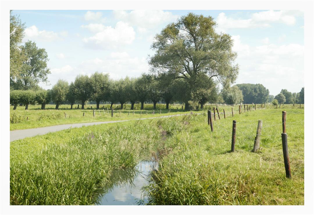
Walk through the open coulter area northwest of Ninove. Discover a beautiful green area full of rural roads with at the end a magnificent view of the leaning tower of the former abbey church of Ninove. The name refers to the sinister function this area used to have.
The Galgenveld walking route is offered to you by Routen, an initiative of Tourism East Flanders.
automatic translation
Monday, September 1, 2025 by Johan De PauwBeautiful route, variety, nice views. Hiked after a dry period and good walking everywhere. Who likes silence and peace; highly recommended.
automatic translation
Wednesday, May 4, 2022 by S.V.Very beautiful! The vast majority is unpaved. Beautiful views & even found a hidden elevation trail.
automatic translation
Wednesday, September 22, 2021 by Andre TolpeNice hike, will be best when the corn is gone . If there is a lot of rain don't do it.
automatic translation
Sunday, April 25, 2021 by D.L.Beautiful Hike! Last sign missing, luckily google maps and the plan showed us the right way!Better travel in the indicated direction!
automatic translation
Friday, January 1, 2021 by M.V.The hike was very muddy, it was sliding from puddle to puddle and fairly boring as there were sometimes miles upon miles of walking on the same path!
automatic translation
Saturday, December 19, 2020 by Luc Van hoveBeautiful hike along quiet unpaved muddy hollow roads, very little asphalt.
automatic translation
Monday, December 14, 2020 by Sarah Vanden avennefantastic route: largely unpaved and muddy (in wet seasons), between rolling couters and hollow roads, perfectly signposted, and only short stretches of asphalt roads. But 9.1 instead of 10 km
automatic translation
Wednesday, July 22, 2020 by H.L.Beautiful route along dirt roads!!!
automatic translation


 Upgrade to Premium Plus
