 Hiking
 Login
Login
 More
More
 EN
EN
 Premium
Meetjesland death wire hiking trail
automatic translation
10.6 km • Assenede
 official route
2.7617 5 3.7/5
 Addresse starting point (approximate)
Schare 12, 9968 Boekhoute
 signage
The route is fully signposted with nodes.
 Description
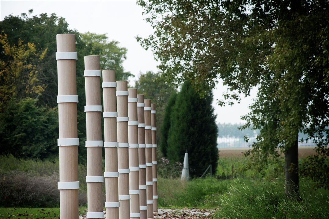
The Death Wire was a terrifying border during the First World War. You walk along the memories of this barrier that left its mark on the region.
The Meetjeslandse Dodendraad walking route is offered to you by Routen, an initiative of Tourism East Flanders.
automatic translation
 nodes to follow
0 km
1.4 km
1.9 km
3.1 km
4.8 km
5.7 km
6.5 km
8.5 km
9.9 km
10.6 km
Sunday, October 5, 2025 by Greta Coolswho like plains, distant views
towpaths along the canal
getting acquainted with the NL junctions
I would say do it.
we did this one yesterday (storm wind).... sound of the trees, water where the wind is, the sun that gave the warmth
i found it already seedling, i like to look in the distance, horizon, church towers sticking out somewhere
automatic translation
Friday, May 14, 2021 by A.V.Still tremendously disappointed from the hike.... the reviews promised varied walk with unpaved paths and we saw 90% paved paths with hardly any fascinating nature.... long fields and straight ahead! Too bad
automatic translation
Sunday, December 13, 2020 by F.L.surprisingly many unpaved trails, atypical actually for a hiking trail in this region. Certainly charmed me!
automatic translation
Sunday, August 30, 2020 by J.F.corona proof , https://www.strava.com/activities/3955298549 very nice though long
automatic translation
Sunday, May 24, 2020 by E.S.Very nice hike. Not recommended on very hot days.
Attention, this route goes a bit through the Netherlands! (border closed due to Corona)
automatic translation


 Upgrade to Premium Plus
