Hiking
 Login
 More
 EN
 Premium
Tamines - forests and slag heaps
automatic translation
15.9 km • Sambreville
8562 0 0/5

 Addresse starting point (approximate)
Rue Victor Lagneau 16, 5060 Sambreville, BE
 signage
The route is not signposted. Use a GPS device or our app to follow the route.
 Description
Departure: NMBS station Tamines parking lot
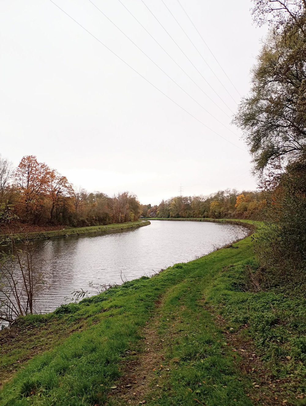
We first walk along the RAVeL bike path, which follows the course of the Sambre. In 1828, the river was straightened by the Dutch to facilitate navigation and enable the transport of coal and steel.
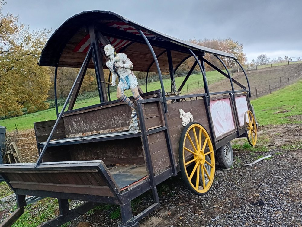
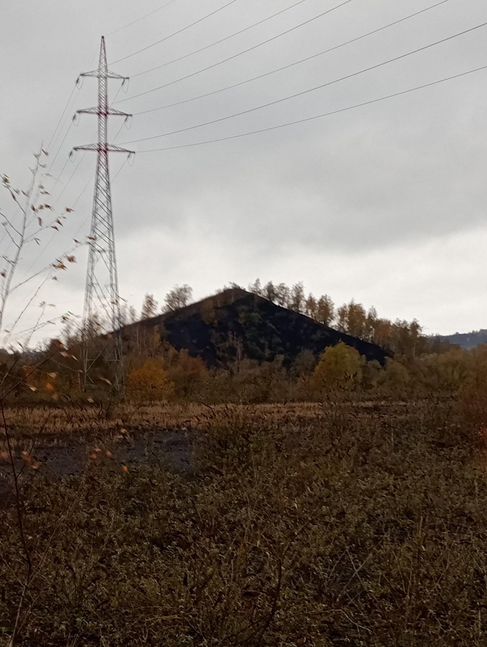
Next, we turn off along an old branch of the Sambre and reach the first slag heap. Then we pass the Rancho Pepe riding school, where various artistically decorated carriages can be admired.
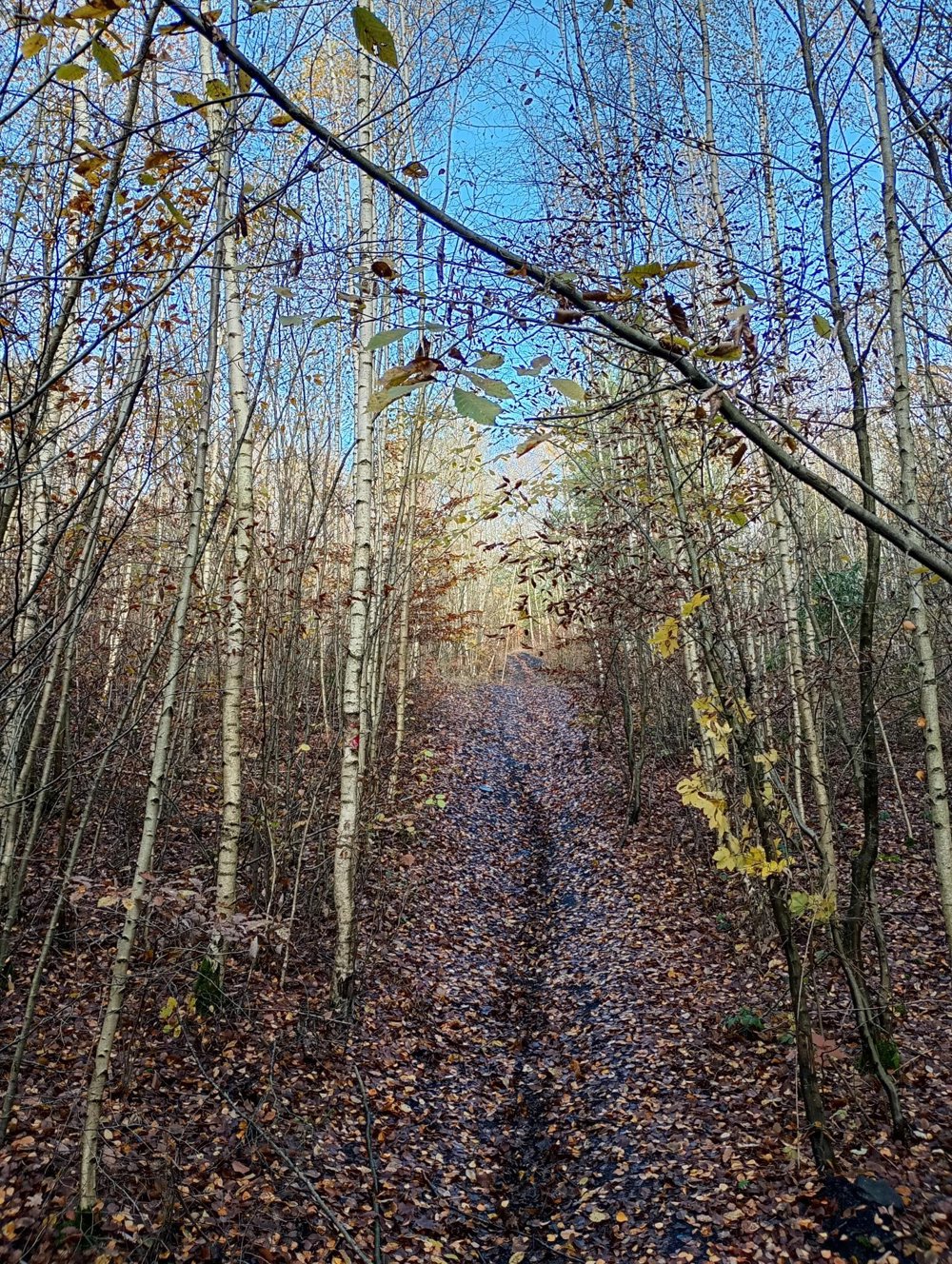
Our journey continues through the woods. Here, using the hiking app is useful, as the paths are not always clear. Walking sticks can also come in handy. Don't forget to check the hunting calendar in advance.
On the way back to the starting point, unfortunately, we have to walk about 2 km along the busy N90. Afterwards, we go through the town back to the station, where we can still discover the typical small workers' houses.
No rest stops and no catering services on the way.
automatic translation



 Upgrade to Premium Plus