Hiking
 Login
 More
 EN
 Premium
Forest Education Trail Storm Damage Härebesch
automatic translation
8.1 km • Koerich
6870 0 0/5

 Addresse starting point (approximate)
Fockemillen 1, 8386 Koerich, LU
 signage
The route is fully signposted with thematic signs (no nodes).
 Description
Done on 11/13/2026 (11,255 steps)
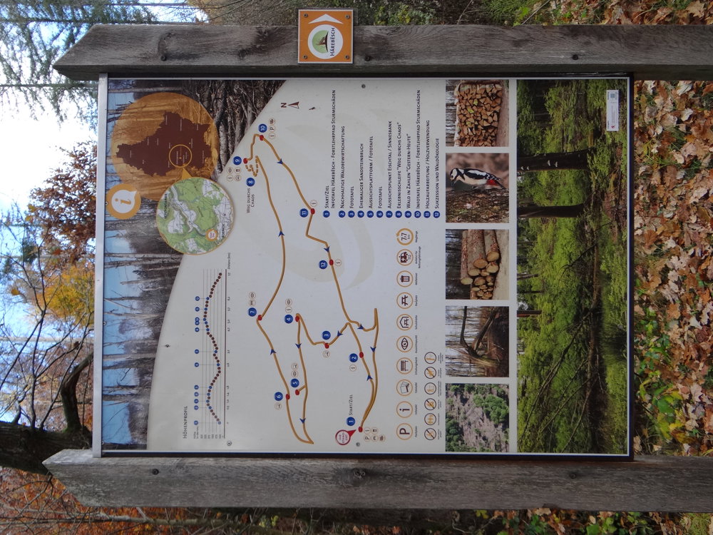
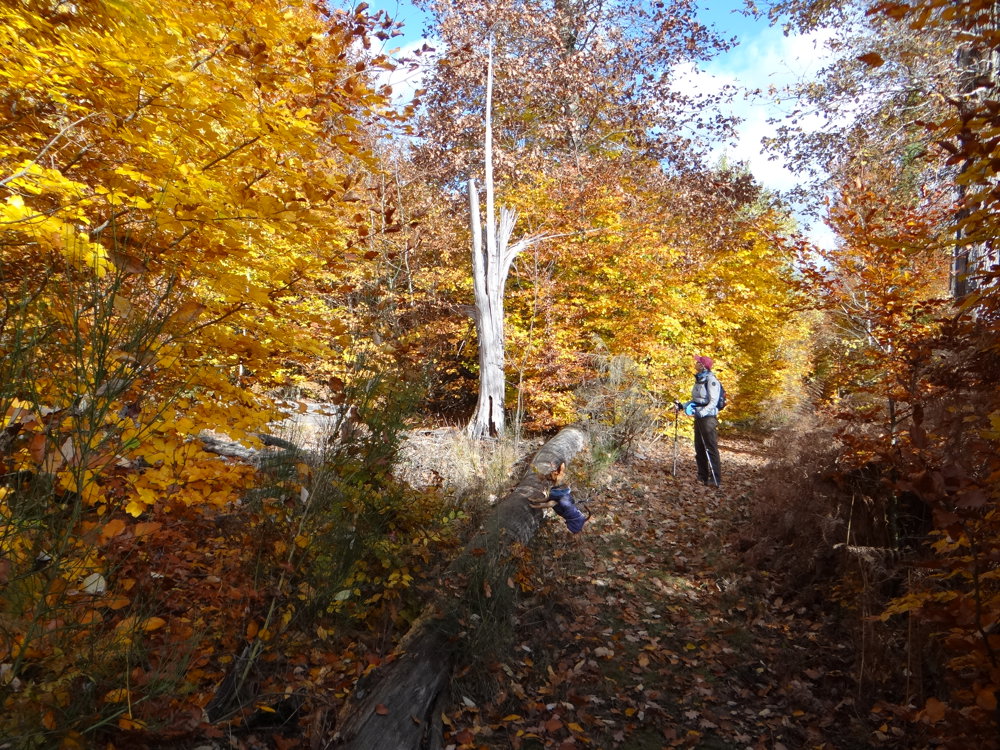
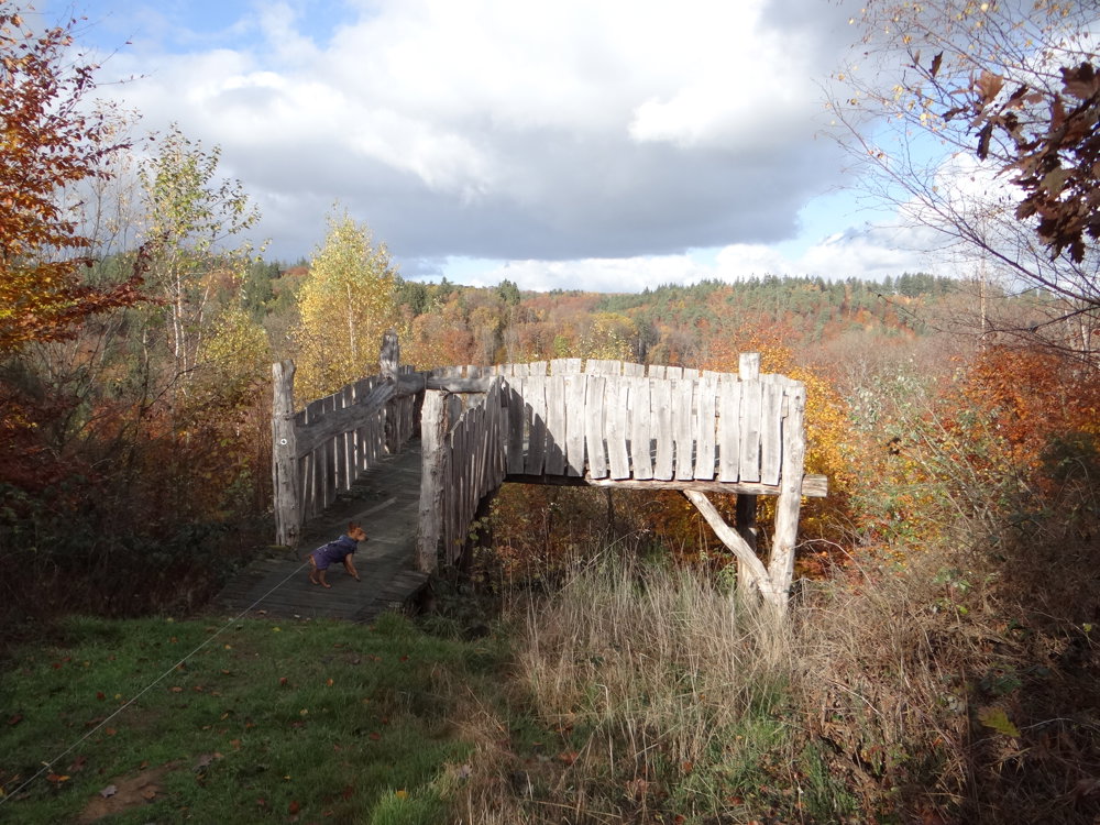
Discover the Storm Damage Forest Trail in Härebësch, located between Koerich and Septfontaines in the Luxembourg forest area of Steinfort. On July 6, 2014, a severe storm with peak speeds of up to 130 km/h swept through here. Rare wet downdrafts felled as much as 40,000 cubic meters of wood.
During this walk of over 11,000 steps, the Nature and Forestry Service (ANF) takes you along the impressive traces of this natural force. You will discover how the landscape and nature recover from this rare storm event from an ecological and landscape point of view.
Practical tip: the route is only signposted in one direction, and several markings are missing along the way. So make sure you have a charged smartphone with GPS or the Walking Junction app at hand to navigate smoothly.
Photos: https://photos.app.goo.gl/Ktj8iefihE5u8fYE9
Happy hiking!
Eddy, Rita and Prinske
automatic translation



 Upgrade to Premium Plus