 Hiking
 Login
Login
 More
More
 EN
EN
 Premium
The Gavers hiking trail
automatic translation
4.4 km • Geraardsbergen
 official route
3.8336 0 0/5
4.4 km
0.0 km
0.0 km
 Addresse starting point (approximate)
Onkerzelestraat, 9500 Geraardsbergen
 signage
The route is fully signposted with nodes.
© Toerisme Oost-Vlaanderen
 Description
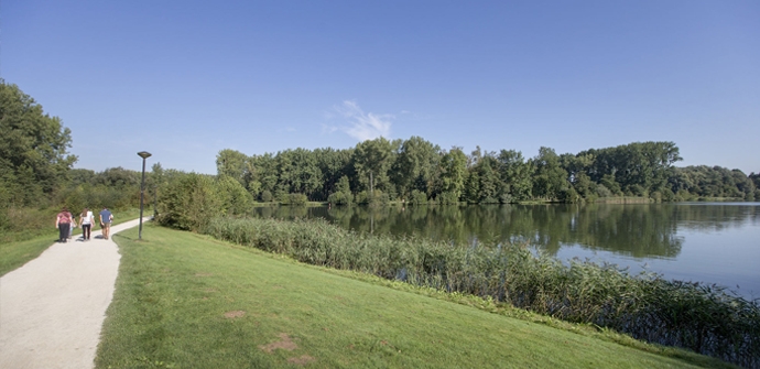
This route takes you around Provincial Domain De Gavers to the Dender River. This route is mostly paved and very accessible. Only the connection between the Gavers and Dender (nodes 3 to 94) is 30m of gravel path.
TheGavers hiking trailis offered to you byRouten, an initiative of Tourism East Flanders.
automatic translation
 nodes to follow
0 km
1.2 km
1.8 km
1.9 km
3.1 km
3.2 km
4.3 km


 Upgrade to Premium Plus
