Loading...

A Walk Between the City and the Abbey

automatic translation

26 km • Diest

Icon official route official route

460 0 0/5

26 km 0.0 km 0.0 km

route offered by

Badge of official route

more info

Icon starting point Addresse starting point (approximate)

Knooppunt 96, Grote Markt in Diest

Icon type signage of route signage

The route is partially signposted with nodes. Use a GPS device or our app to follow the route.
5m 5m 5m 5m
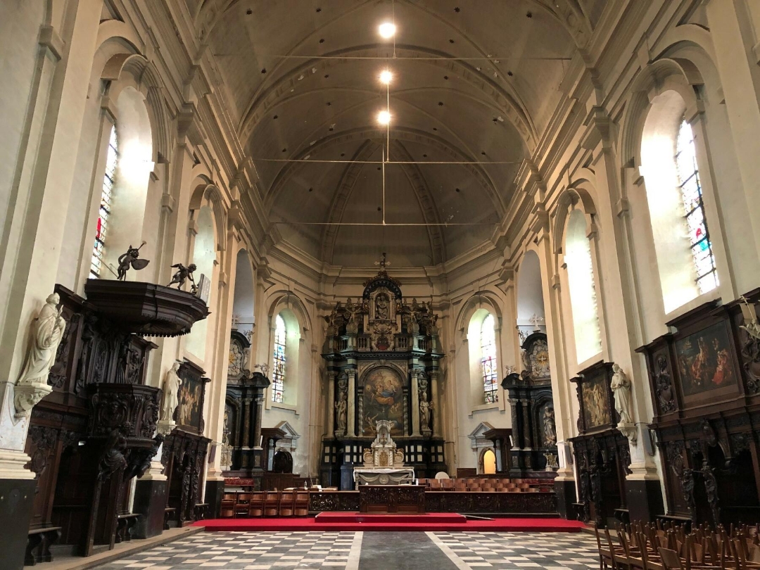
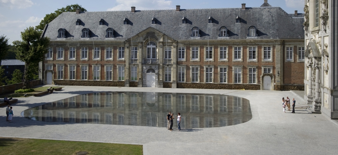
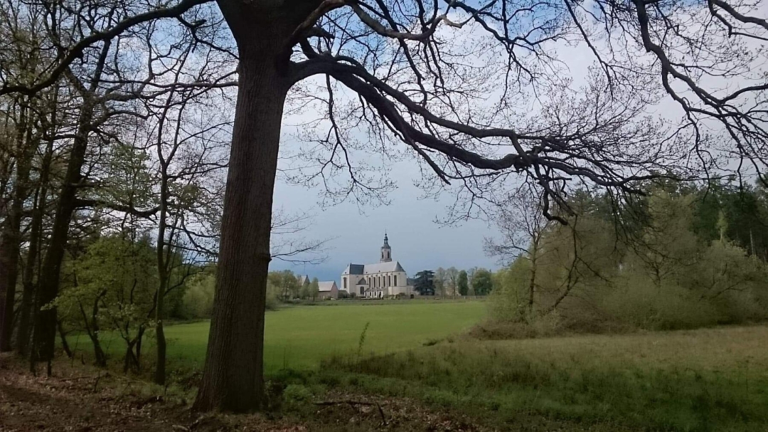
Atmosphere image 1 of route A Walk Between the City and the Abbey Atmosphere image 2 of route A Walk Between the City and the Abbey
© LSP de Merode

Icon description route Description

Lace up your hiking boots for a full day of walking. Or opt for a two-day visit to the Merode region and combine your hike with a CULTURAL EXPLORATION, a delicious meal, and an overnight stay. You can spend the night in the charming fortified town of Diest or in the peace and quiet of the GUEST QUARTERS at Averbode Abbey. This way, you’ll fully experience the influence of the Norbertines on both the town and the countryside.

automatic translation

Icon nodes to follow nodes to follow

Image node 96
0 km
Image node 424
1.2 km
Image node 373
1.8 km
Image node 284
2.1 km
Image node 282
3.2 km
Image node 252
4 km
Image node 936
4.8 km
Image node 407
5.7 km
Image node 61
7.7 km
Image node 411
8 km
Image node 58
9.8 km
Image node 295
10.7 km
Image node 93
11.1 km
Image node 98
11.2 km
Image node 293
11.4 km
Image node 96
11.6 km
Image node 100
12.3 km
Image node 100
12.3 km
Image node 90
12.6 km
Image node 245
13.7 km
Image node 42
13.9 km
Image node 249
15.3 km
Image node 250
17.1 km
Icon deviation route
17.8 km
Image node 934
18.8 km
Image node 63
19.2 km
Image node 337
19.7 km
Image node 413
20.8 km
Image node 263
21.3 km
Image node 284
22.4 km
Image node 373
22.7 km
Image node 424
23.3 km
Image node 97
23.7 km
Image node 9
24.2 km
Image node 272
24.7 km
Image node 96
25.8 km
This route does not have any reviews yet. Be the first!
Rate route!

Which POI do you want to show on the map?

Experimental hiking network
Unsigned icon

The route you have chosen runs (partly) along an experimental virtual hiking node network (the blue-coloured nodes and sections on the map).

You must be logged in to plan routes here.

Experimental hiking network
Unsigned icon

The route you have chosen runs (partly) along an experimental virtual hiking node network (the blue-coloured nodes and sections on the map).

These routes are not controlled in the field. Before you start hiking here, take a minute to read what an experimental hiking node network is and what rules you should follow when hiking here.