Loading...

Pastorates and small chapels along the way

automatic translation

13 km • herselt

Icon official route official route

1541 0 0/5

13 km 0.0 km 0.0 km

route offered by

Badge of official route

more info

Icon starting point Addresse starting point (approximate)

Knooppunt 147 (kerkplein Blauberg), Herselt

Icon type signage of route signage

The route is partially signposted with nodes. Use a GPS device or our app to follow the route.
5m 5m 5m 5m
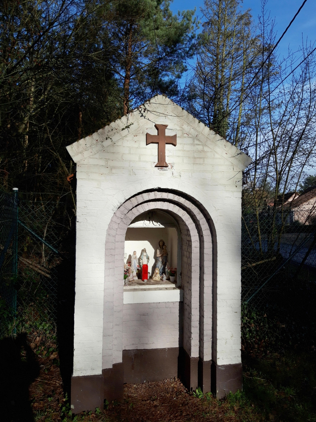
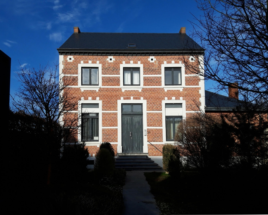
Atmosphere image 1 of route Pastorates and small chapels along the way Atmosphere image 2 of route Pastorates and small chapels along the way
© LSP de Merode

Icon description route Description

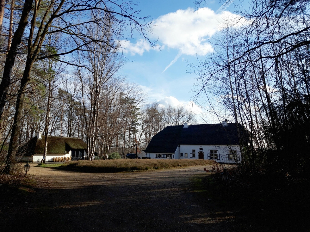
If you’re looking for peace and quiet and love to enjoy SCENIC VIEWS, then this hike is perfect for you. You’ll walk through forests, past meadows, over hills, and even past a vineyard. Be sure to count the MANY SMALL CHAPELS along the way.

automatic translation

Icon nodes to follow nodes to follow

Image node 147
0 km
Image node 271
0.4 km
Image node 17
0.8 km
Image node 20
1.5 km
Icon deviation route
1.6 km
Icon deviation route
1.8 km
Icon deviation route
1.9 km
Icon deviation route
2.1 km
Icon deviation route
2.2 km
Image node 33
2.4 km
Image node 270
3 km
Image node 187
3.7 km
Image node 267
3.9 km
Image node 266
5.1 km
Image node 158
5.5 km
Image node 417
5.8 km
Image node 216
6 km
Image node 156
6.3 km
Image node 353
7.5 km
Icon deviation route
8.1 km
Icon deviation route
8.3 km
Icon deviation route
8.3 km
Icon deviation route
8.4 km
Icon deviation route
8.4 km
Icon deviation route
8.4 km
Icon deviation route
8.5 km
Icon deviation route
8.5 km
Icon deviation route
8.7 km
Icon deviation route
8.8 km
Icon deviation route
8.9 km
Icon deviation route
9.2 km
Icon deviation route
9.4 km
Icon deviation route
9.6 km
Image node 83
10.4 km
Image node 123
11.1 km
Image node 146
12.4 km
Image node 147
12.8 km
This route does not have any reviews yet. Be the first!
Rate route!

Which POI do you want to show on the map?

Experimental hiking network
Unsigned icon

The route you have chosen runs (partly) along an experimental virtual hiking node network (the blue-coloured nodes and sections on the map).

You must be logged in to plan routes here.

Experimental hiking network
Unsigned icon

The route you have chosen runs (partly) along an experimental virtual hiking node network (the blue-coloured nodes and sections on the map).

These routes are not controlled in the field. Before you start hiking here, take a minute to read what an experimental hiking node network is and what rules you should follow when hiking here.