Loading...

Swiftly Between Steam and Wind

automatic translation

8 km • Laakdal

Icon official route official route

2430 0 0/5

8 km 0.0 km 0.0 km

route offered by

Badge of official route

more info

Icon starting point Addresse starting point (approximate)

Klein Vorst Kerk Laakdal

Icon type signage of route signage

The route is partially signposted with nodes. Use a GPS device or our app to follow the route.
5m 5m 5m 5m
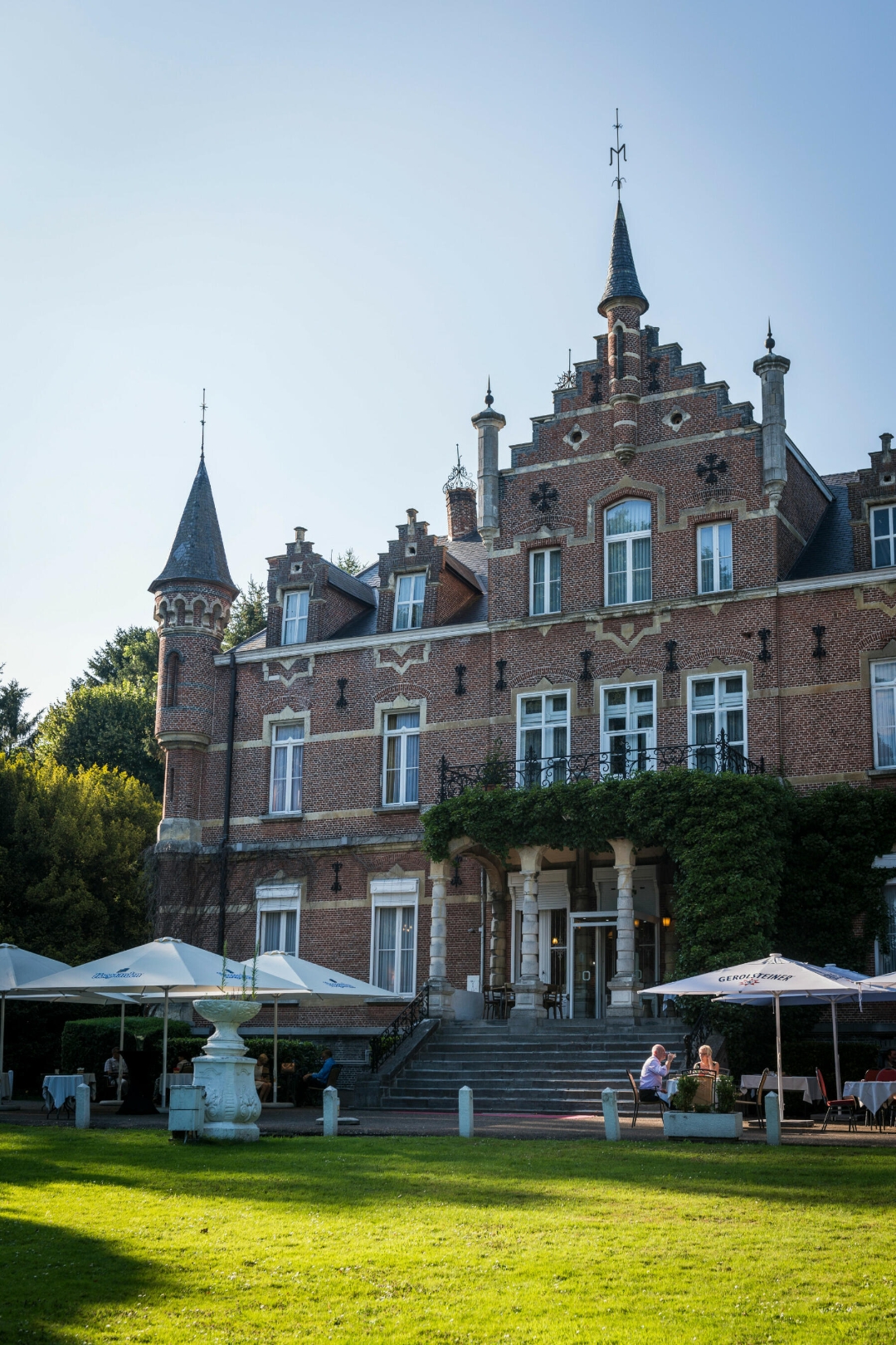
Atmosphere image 1 of route Swiftly Between Steam and Wind
© LSP de Merode

Icon description route Description

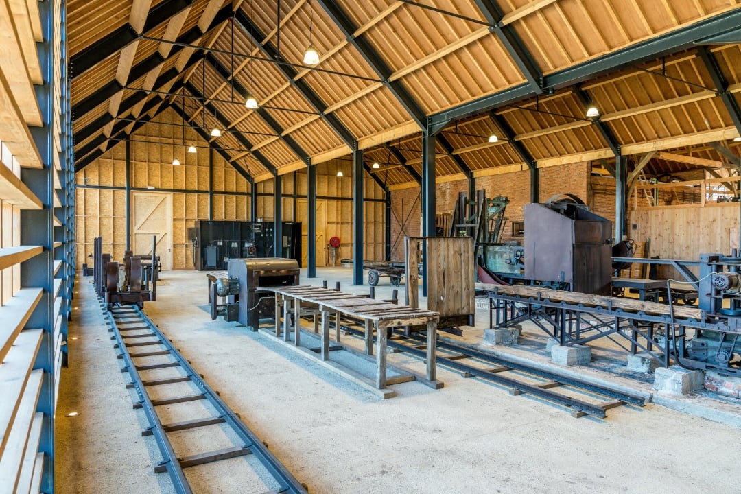
This walk is a piece of cake for anyone who wants to learn a bit about the NIJVERE KEMPEN along the way. From a historic steam-powered sawmill to modern windmills, you’ll discover how the people of the Kempen have always harnessed the power of NATURAL ENERGY SOURCES. Halfway through, during the summer months, you can recharge your energy with a delicious ice cream.

Please note: the walking network has changed along this route, so part of the route no longer follows the junction points. The GPX file is correct. The map is no longer accurate and will be updated as soon as possible.

automatic translation

Icon nodes to follow nodes to follow

Image node 388
0 km
Image node 387
0.1 km
Icon deviation route
0.4 km
Icon deviation route
0.7 km
Icon deviation route
0.8 km
Icon deviation route
0.8 km
Icon deviation route
0.9 km
Icon deviation route
1 km
Icon deviation route
1.3 km
Icon deviation route
1.4 km
Icon deviation route
3.3 km
Icon deviation route
3.9 km
Icon deviation route
4 km
Icon deviation route
4.2 km
Icon deviation route
4.4 km
Icon deviation route
4.6 km
Icon deviation route
4.9 km
Icon deviation route
5.1 km
Image node 365
7.3 km
Icon deviation route
7.7 km
Image node 387
7.8 km
Image node 388
8 km
This route does not have any reviews yet. Be the first!
Rate route!

Which POI do you want to show on the map?

Experimental hiking network
Unsigned icon

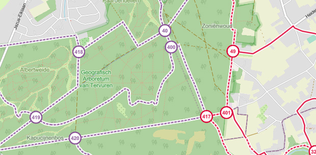
The route you have chosen runs (partly) along an experimental virtual hiking node network (the blue-coloured nodes and sections on the map).

You must be logged in to plan routes here.

Experimental hiking network
Unsigned icon

The route you have chosen runs (partly) along an experimental virtual hiking node network (the blue-coloured nodes and sections on the map).

These routes are not controlled in the field. Before you start hiking here, take a minute to read what an experimental hiking node network is and what rules you should follow when hiking here.