Hiking
 Login
 More
 EN
 Premium
Ciergnon - the Lesse and Royal Hunting Domain
automatic translation
24.4 km • Houyet
2110 0 0/5

 Addresse starting point (approximate)
Rue Du Frujia 6, 5560 Houyet, BE
 signage
The route is not signposted. Use a GPS device or our app to follow the route.
 Description
Departure: parking lot - rue du Parc Royal - Ciergnon
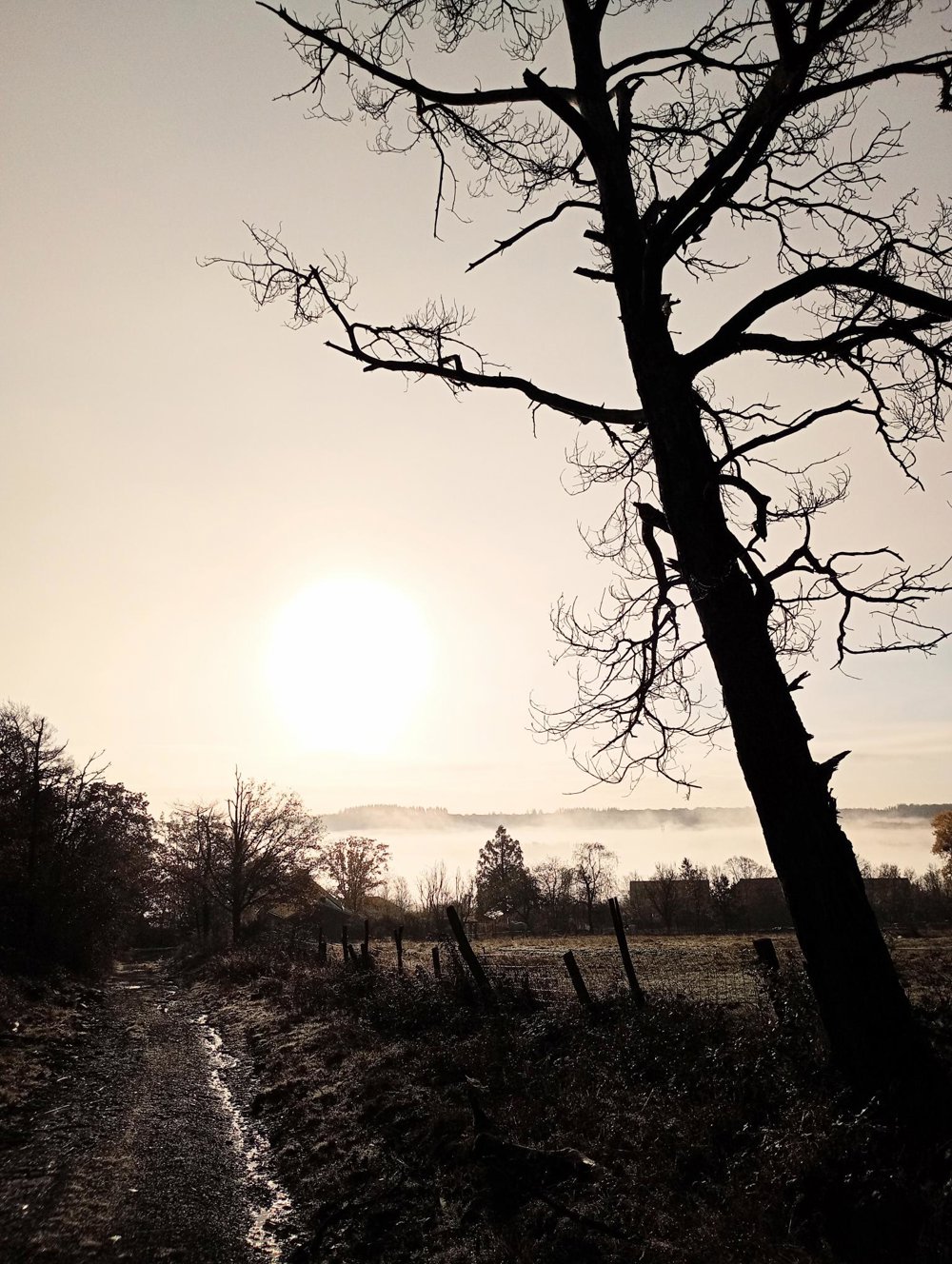
I departed at sunrise.
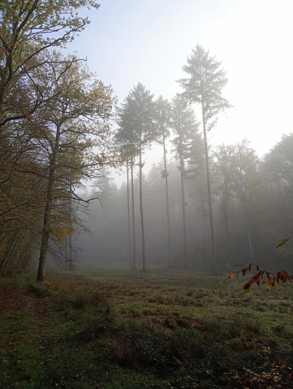
In the woods, I respected the private roads, but these were sometimes poorly marked and then only at one entrance of the route. Once at the ponds of Frandeux, it was a bit tricky to get back on the public road.
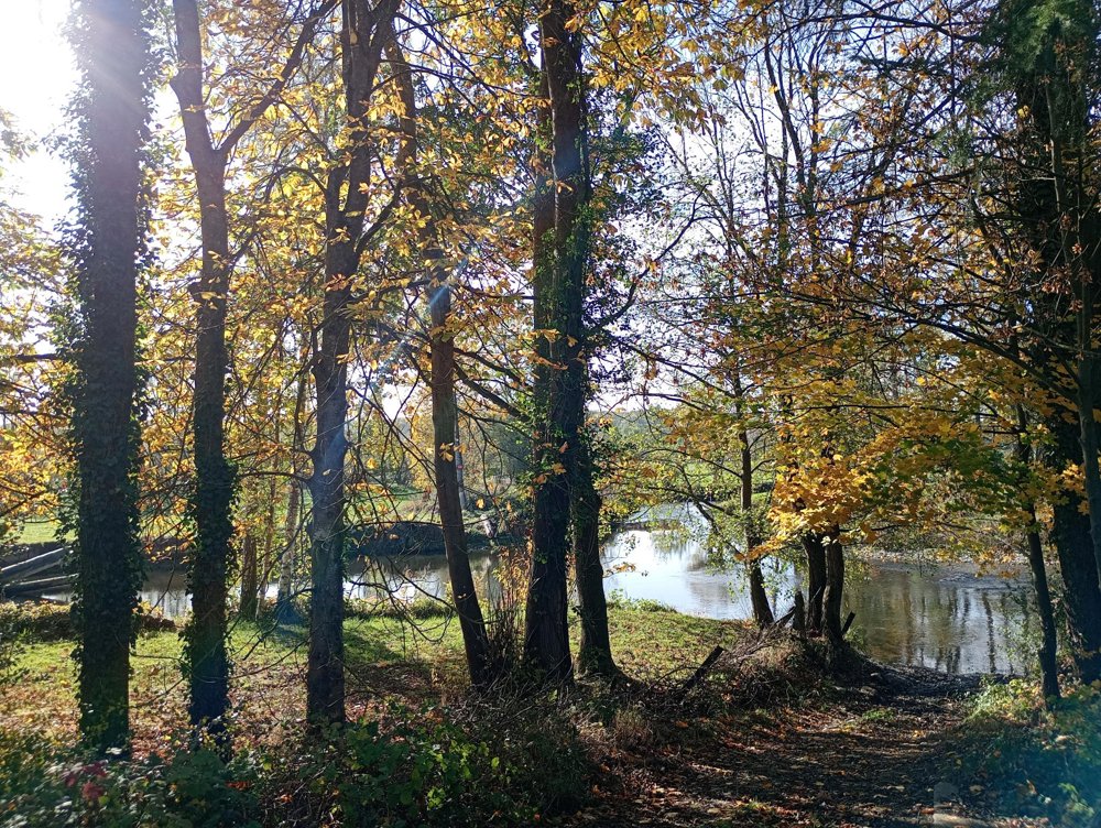
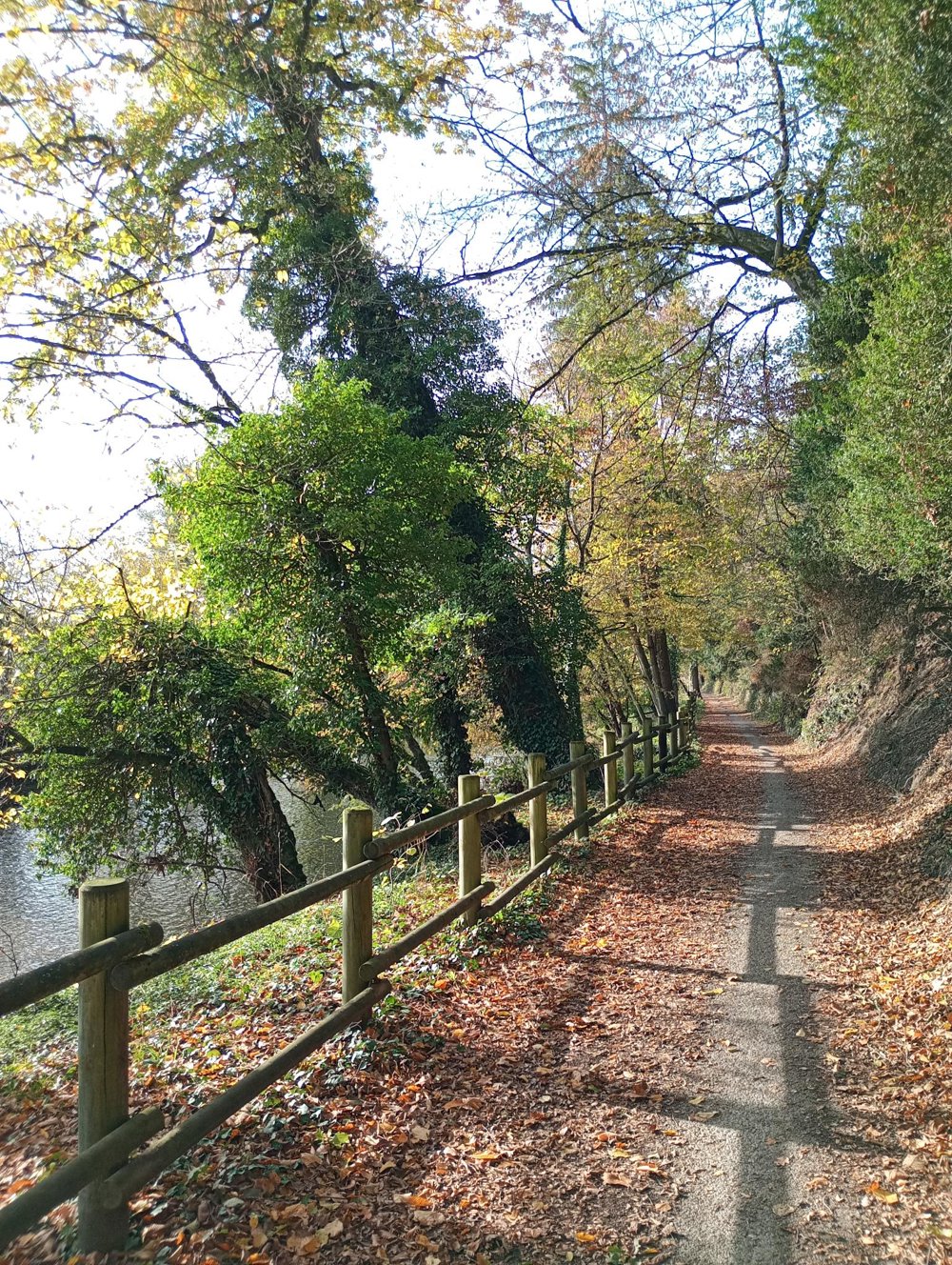
After about 16 km of walking, we pass through the cozy villages of Eprave and Lessive. Then we follow a stretch of the RAVeL bike path along the Lesse. We enjoy a beautiful view of the Lesse valley and the many small waterfalls.
Afterwards, we reach the royal domain with the royal castle, built high on the rocks.
Almost at the end of the walk, there is the artistic eatery 'Le Petit Bambou', with irregular opening hours. Otherwise, there is no catering along the way, and the number of rest points is limited.
Personally, I didn’t need any walking sticks, but the roads can be muddy. Keep an eye on the hunting calendar in the fall.
automatic translation

 Upgrade to Premium Plus