Hiking
 Login
 More
 EN
 Premium
Winnene (Beauraing) Forest and field
automatic translation
18 km • Beauraing
6590 0 0/5

 Addresse starting point (approximate)
Allée du Stade 17, 5570 Beauraing, BE
 signage
The route is not signposted. Use a GPS device or our app to follow the route.
 Description
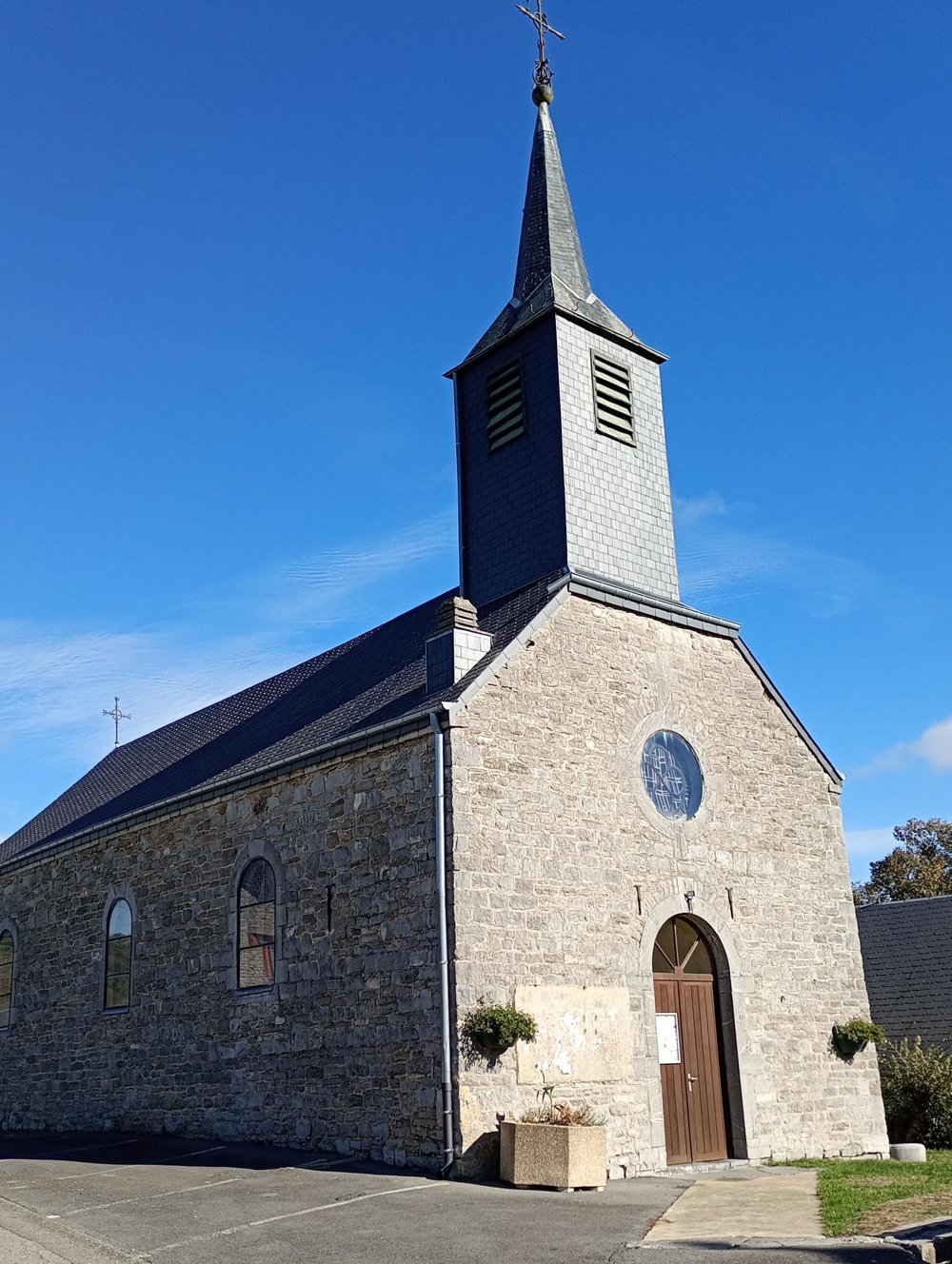
Departure: free parking sports grounds - Allée du Stade 3 - Winenne
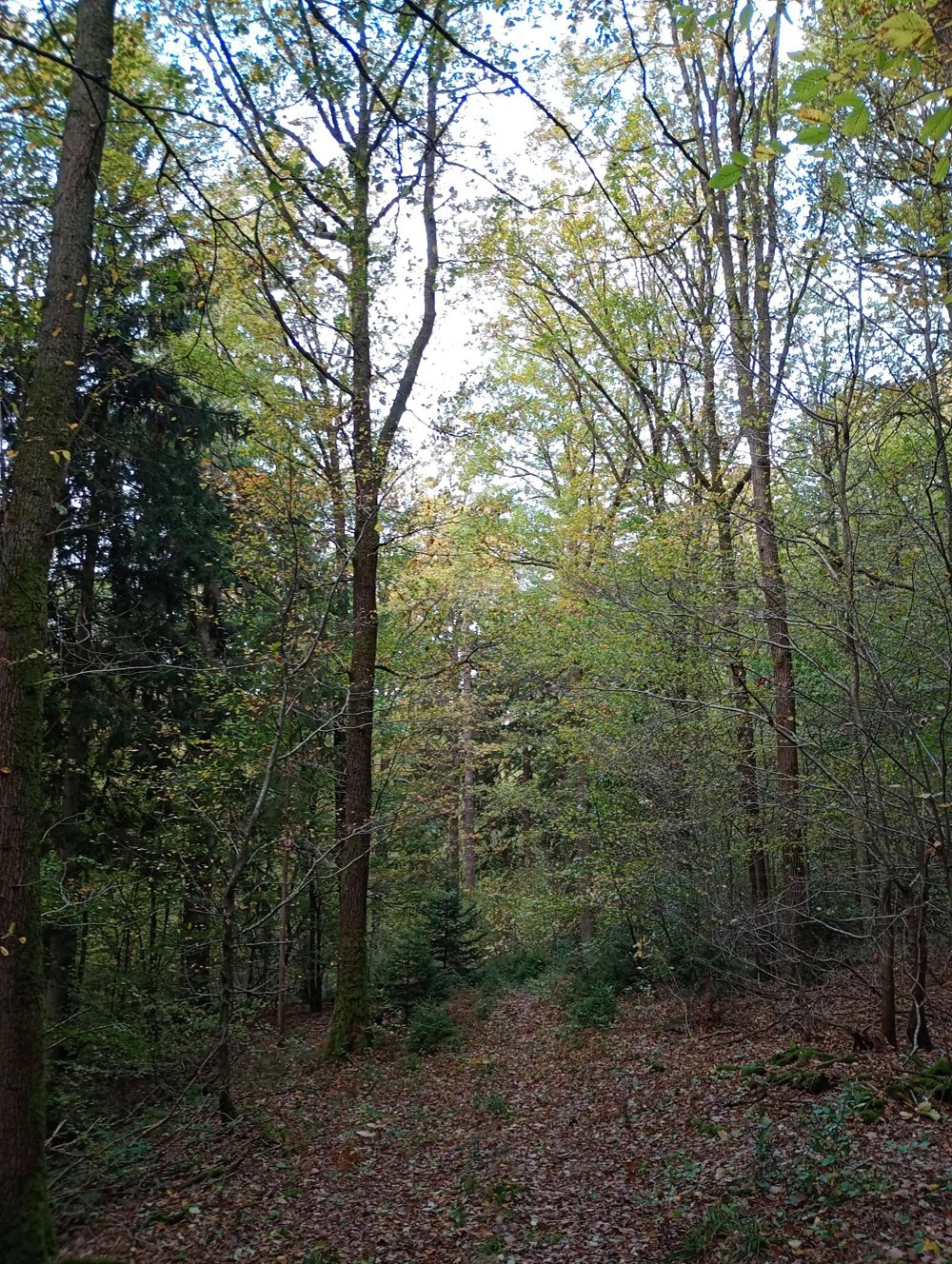
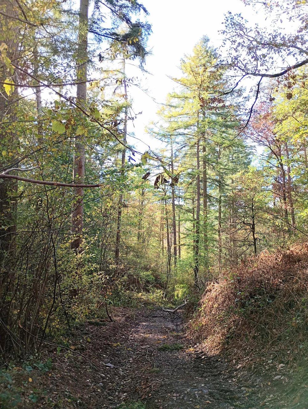
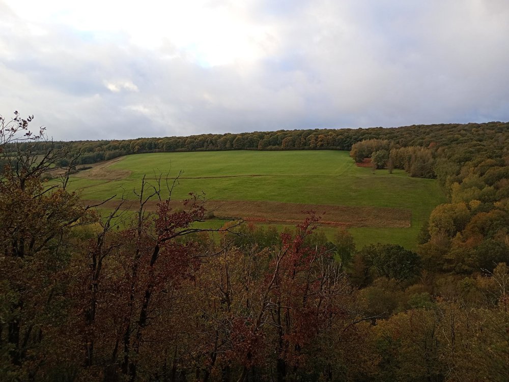
I advise against this walk during rainy or slippery periods, because once in the forest, we go directly steeply downhill for about 300 meters. A dangerous descent, but with a breathtaking view. Afterwards, we slowly climb back via forest roads - literally on the border.
In the autumn, hunting takes place here, and it is not always clear in which part of the forest walking is allowed. The French hunting dates also differ from the Walloon ones, so sometimes there are conflicting signs in the woods. Therefore, I chose to leave the forest via the gravel roads, as these were accessible even during hunting season. Here we pass some bivouac sites where a BBQ can be lit during the day.
Then through the fields to the village of Dion, and back to the starting point. There are plenty of benches and rest stops along the way, but no horeca.
automatic translation


 Upgrade to Premium Plus