 Hiking
 Login
Login More
More EN
EN Premium
Kleit woods hiking trail
automatic translation
5 km • Maldegem
 official route
1.5172 5 4.6/5
 Addresse starting point (approximate)
Kleitkalseide, 9990 Maldegem
 signage
The route is fully signposted with nodes.
 Description
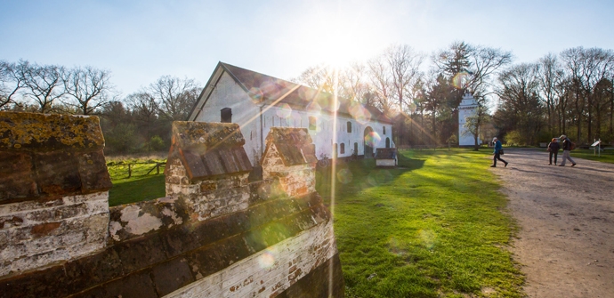
Explore the Kleitse bossen, the northern spur of the Drongengoed Landscape Park, the largest contiguous forest in East Flanders. Children are welcome on this short hike, as you'll pass a play area and adventurous boardwalks along the way!
TheKleitse bossen hiking trailis offered to you byRouten, an initiative of Tourism East Flanders.
automatic translation
 nodes to follow
0 km
0.4 km
1.7 km
1.8 km
2.5 km
2.7 km
4.4 km
5.1 km
Saturday, June 29, 2024 by J.H.Cool nature hike, especially recommended in drier periods. Good clothing required because some parts of the hike are densely overgrown (nettles) in this (summer) period.
automatic translation
Monday, May 22, 2023 by guus langeraertEngaging roue, some moisture at times. The Decking areas are in dire need of maintenance and so is the play forest. Way too long grass and an overflowing trash can with a bunch of junk next to it. So.... We took a picture of a deer along the way. So hike more than successful
automatic translation
Saturday, April 15, 2023 by T.G.Very nice route that is also doable with kids. Especially the decks along the way are very appealing. If it has been a wet period, good walking shoes are recommended. At times it was a swamp walk.
automatic translation
Tuesday, May 18, 2021 by P.V.This hike starts not far from the village of KLeit,is very beautiful different nature,do take into account with a lot of rainfall the previous days with good walking shoes,recommended !
automatic translation
Sunday, May 2, 2021 by L.D.Just letting you know that the description of this route is wrong. Drongen lies against Ghent and is very much the other side of the Drongengoed. I estimate a half hour drive by car between Drongen and Drongengoed. The hike itself will be cool though.
automatic translation


 Upgrade to Premium Plus
