Hiking
 Login
 More
 EN
 Premium
Auto-pedestrian Esch sur Alzette
automatic translation
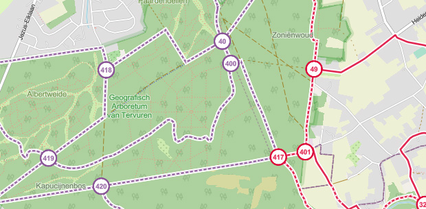
7.6 km • Esch-sur-Alzette
2020 0 0/5

 Addresse starting point (approximate)
Ellergronn 2, 4114 Esch-sur-Alzette, LU
 signage
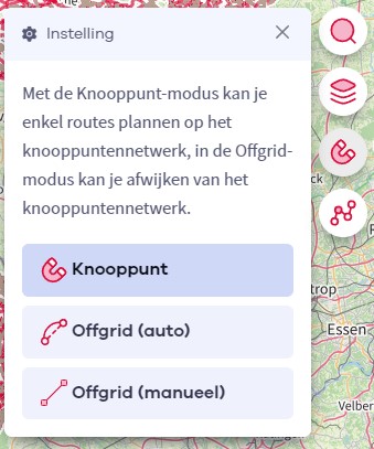
The route is fully signposted with thematic signs (no nodes).
 Description
Completed on 07/26/2026 (11,529 steps)
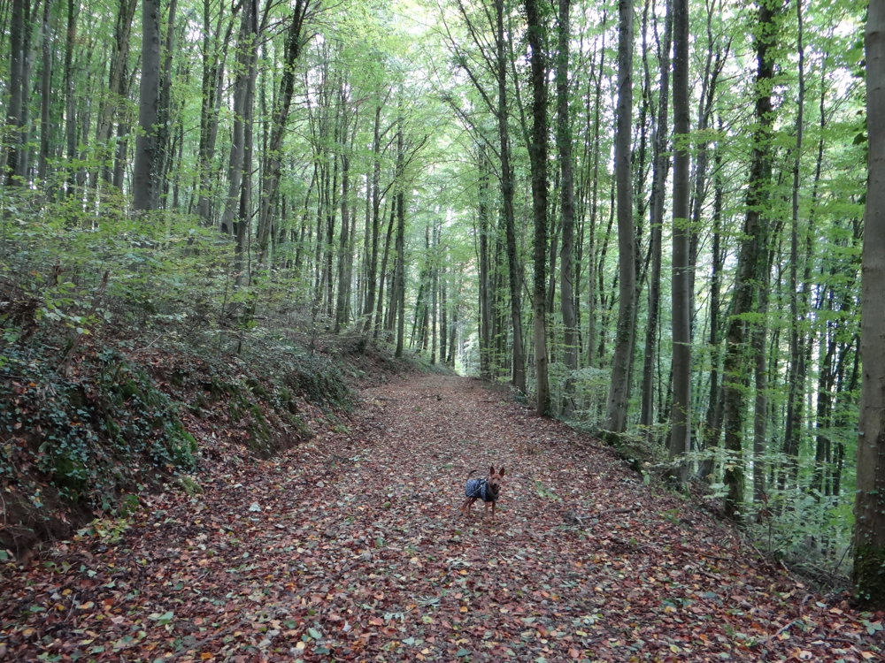
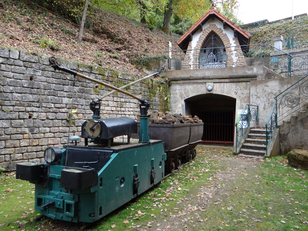
This walk combines the tranquility of vast forests with traces of a rich past. As you stroll through a diverse backdrop of deciduous and coniferous trees, you encounter various historical landmarks along the way, bearing witness to the turbulent history of this region. They add a special value to the route, making this trip more than just a nature walk.
The sheltered forest paths create a serene atmosphere, but it is especially the tangible memories of bygone times that give this walk its character. An ideal route for those who like to see nature and heritage intertwined.
Points of interest:
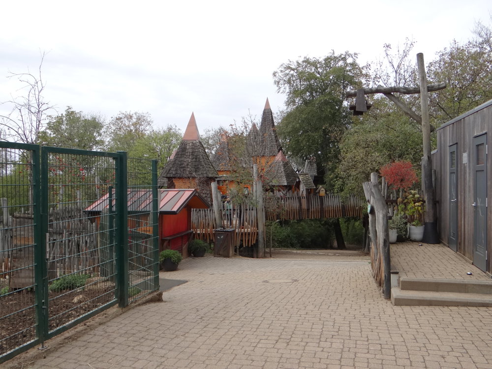
- Animal park: freely accessible, ideal for children
- Musée de la Mine Cockerill (Katzenberg Mine)
- Beautiful nature
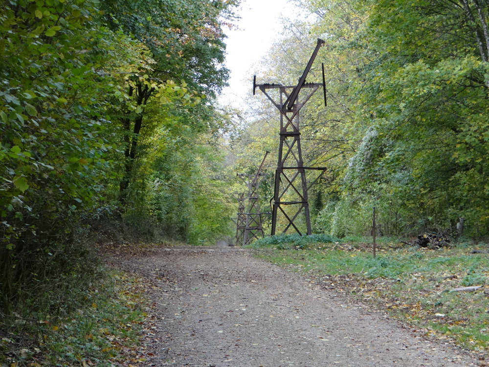
- Historical elements from the mining past
- And much more
Photos: https://photos.app.goo.gl/5en43Jv9nrMvXLDE7
Happy walking,
Eddy, Rita, and Prinske
automatic translation

 Upgrade to Premium Plus