Loading...

Sint-Martens-Lennik junction walk

automatic translation

12.1 km • Lennik

4721 0 0/5

12.1 km 0.0 km 0.0 km

route offered by

Peter XX

Icon starting point Addresse starting point (approximate)

Dorp 43, 1750 Sint-Martens-Lennik, BE

Icon type signage of route signage

The route is fully signposted with nodes.
5m 5m 5m 5m
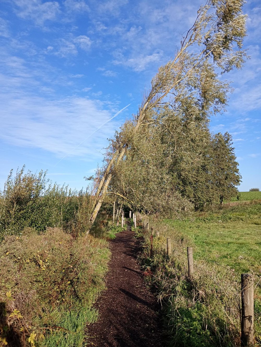
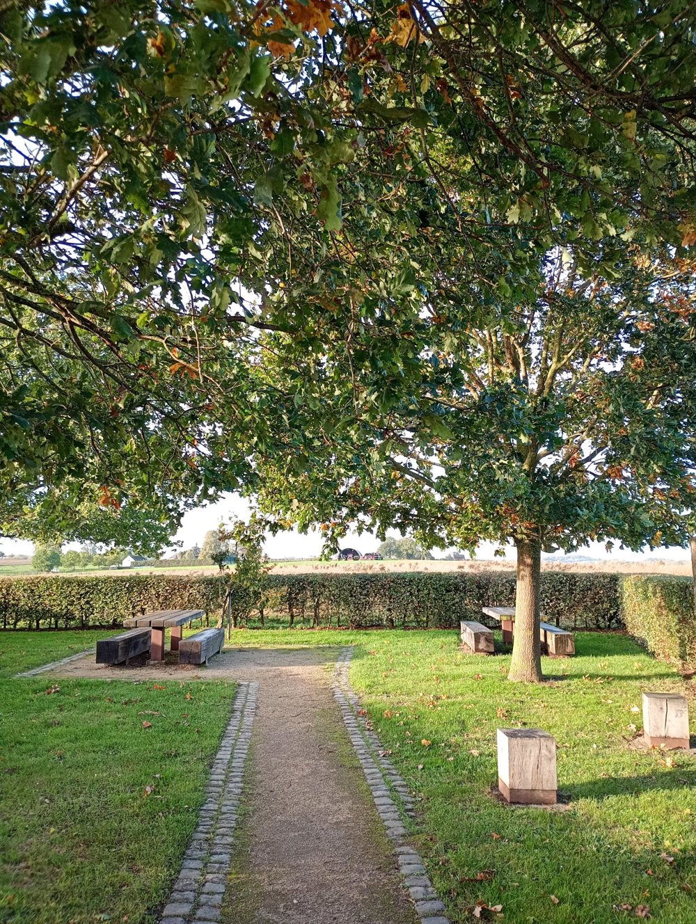
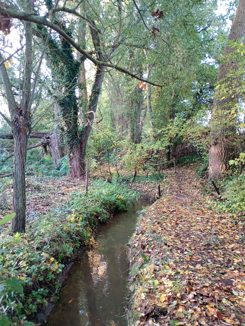
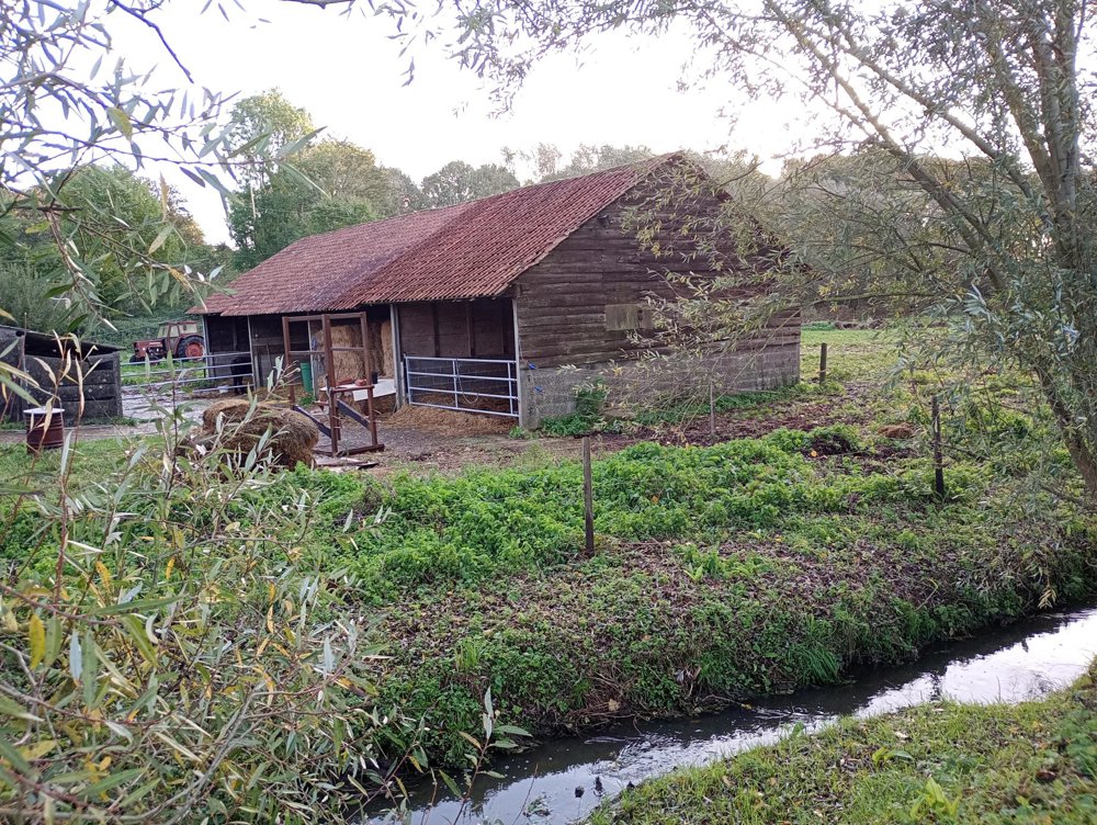
Atmosphere image 1 of route Sint-Martens-Lennik junction walk Atmosphere image 2 of route Sint-Martens-Lennik junction walk Atmosphere image 3 of route Sint-Martens-Lennik junction walk
© Peter XX

Icon description route Description

Departure Saint Martin's Church - Village - Lennik

We set out for a delightful, peaceful walk through a green and rural area, where expansive fields and small natural areas alternate. After just about 500 meters, we discover a play forest with a beautiful boardwalk, giving us an immediate first taste of nature.

About four kilometers further, we follow a narrow, charming path along the Molenbeek, leading us to an authentic clay pit, a unique piece of local heritage. Approximately halfway, a charming picnic place awaits us, hidden among the fields and surrounded by a large hedge.

We then head back into the fields, on our way to the center of Gaasbeek. There, we can make a sanitary stop. Be sure to take the time to step inside the small, intimate, and beautifully maintained church as well. The roads are easily passable, even during rainy times of the year.

automatic translation

Icon nodes to follow nodes to follow

Icon start route
0 km
Icon deviation route
0 km
Icon deviation route
0.6 km
Image node 146
1 km
Image node 119
1.3 km
Image node 149
1.6 km
Image node 139
2.7 km
Image node 139
2.7 km
Image node 137
3.6 km
Image node 135
4 km
Image node 138
4.4 km
Image node 37
5 km
Image node 34
5.8 km
Image node 115
7.2 km
Image node 117
7.5 km
Image node 116
8.2 km
Image node 11
8.5 km
Image node 103
9.5 km
Image node 104
10.2 km
Image node 193
10.9 km
Image node 101
11.6 km
Image node 10
12.1 km
This route does not have any reviews yet. Be the first!
Rate route!

Which POI do you want to show on the map?

Experimental hiking network
Unsigned icon

The route you have chosen runs (partly) along an experimental virtual hiking node network (the blue-coloured nodes and sections on the map).

You must be logged in to plan routes here.

Experimental hiking network
Unsigned icon

The route you have chosen runs (partly) along an experimental virtual hiking node network (the blue-coloured nodes and sections on the map).

These routes are not controlled in the field. Before you start hiking here, take a minute to read what an experimental hiking node network is and what rules you should follow when hiking here.