Loading...

Farmers along the Main Canal

automatic translation

8.7 km • 2470 Retie

Icon official route official route

2240 0 0/5

8.7 km 0.0 km 0.0 km

route offered by

Badge of official route

more info

Icon starting point Addresse starting point (approximate)

Bistro Tilo, Brand 57

Icon type signage of route signage

The route is fully signposted with nodes.
5m 5m 5m 5m
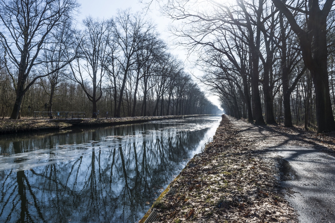
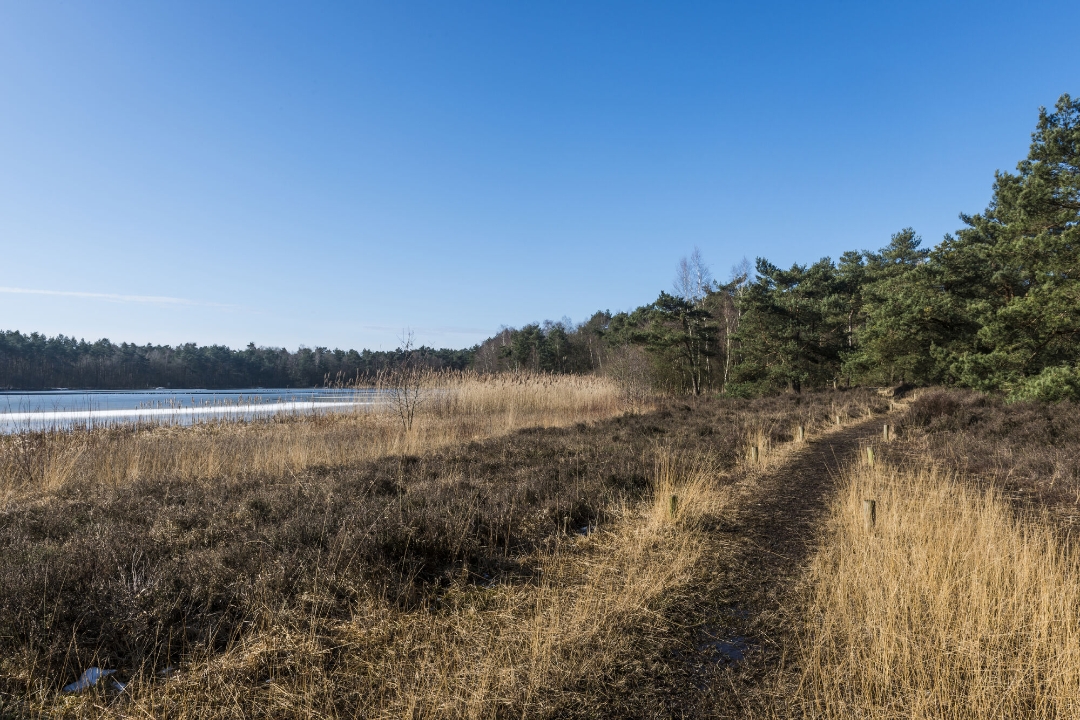
Atmosphere image 1 of route Farmers along the Main Canal Atmosphere image 2 of route Farmers along the Main Canal
© Beleef Provincie Antwerpen

Icon description route Description

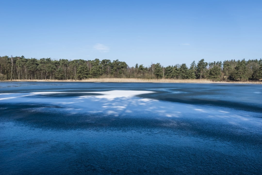
Did you know that this part of Retie was once wild, untamed land? Today, you’ll walk through fields, forests, and ponds. Discover how farmers in the Kempen region shaped the landscape using a clever system of canals. Unique seating areas offer a different perspective on the landscape. Halfway along the route, the Goorvijver beckons for a well-deserved picnic break.

automatic translation

Icon nodes to follow nodes to follow

Image node 126
0 km
Image node 121
0.6 km
Image node 21
1.3 km
Image node 20
1.8 km
Image node 119
2.4 km
Image node 88
2.6 km
Image node 121
3.2 km
Image node 128
5.5 km
Image node 127
6.5 km
Image node 127
6.5 km
Image node 126
8.7 km
This route does not have any reviews yet. Be the first!
Rate route!

Which POI do you want to show on the map?

Experimental hiking network
Unsigned icon

The route you have chosen runs (partly) along an experimental virtual hiking node network (the blue-coloured nodes and sections on the map).

You must be logged in to plan routes here.

Experimental hiking network
Unsigned icon

The route you have chosen runs (partly) along an experimental virtual hiking node network (the blue-coloured nodes and sections on the map).

These routes are not controlled in the field. Before you start hiking here, take a minute to read what an experimental hiking node network is and what rules you should follow when hiking here.