 Hiking
 Login
Login
 More
More
 EN
EN
 Premium
Assels hiking trail
automatic translation
5.9 km • Ghent
 official route
9.8119 6 4.2/5
 Addresse starting point (approximate)
Drongenplein, 9031 Drongen
 signage
The route is fully signposted with thematic signs (no nodes).
 Description
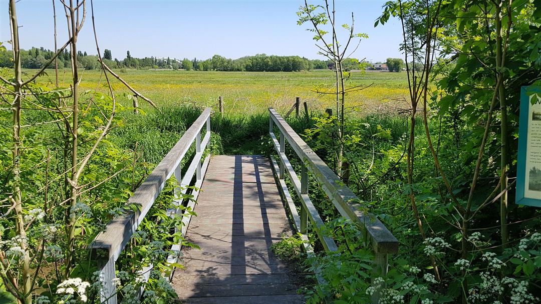
Explore the beautiful Leiemeersen area between the Ringvaart canal and the villages of Drongen and Afsnee. The Assels nature reserve is an important meadow bird area along some old farms, such as 't Goed der Kaeksmede. Walk along the Piereput further via the Afsnee ferry and along the Leiedijk.
The Assels walking route is offered to you by Routen, an initiative of Tourism East Flanders.
automatic translation
Thursday, July 31, 2025 by E.N.First part mainly along farmland, second part along Lys more interesting
automatic translation
Tuesday, May 25, 2021 by Frank Van ackerBeautiful walk in the Leie region. A bit too short for us, but combined with the Drongen-Keuze walk you get to 16 km. ( With as nice extra, the ferry in Afsnee! ). Highly recommended!
automatic translation
Sunday, December 6, 2020 by F.L.short but beautiful route partly along the River Lys. Hexagonal signs clear and numerous. Highly recommended!
automatic translation
Sunday, November 22, 2020 by Monique CoppensBeautiful hike with very well marked hexagonal signs
automatic translation
Friday, October 23, 2020 by H.L.Too bad, didn't see any signage and still dawdled a bit ...
automatic translation
Wednesday, September 2, 2020 by C.B.Very nice quiet route. First part mostly in the green, second part along the Leie. Maybe take a drink with you, because only along the Leie there is one opportunity to have a drink.
automatic translation


 Upgrade to Premium Plus
