Loading...

From the water's edge to the edge of the forest

automatic translation

19.9 km • Westerlo

Icon official route official route

60 0 0/5

19.9 km 0.0 km 0.0 km

route offered by

Badge of official route

more info

Icon starting point Addresse starting point (approximate)

Toerisme Westerlo, Sint-Lambertusstraat 4, Westerlo

Icon type signage of route signage

The route is partially signposted with nodes. Use a GPS device or our app to follow the route.
5m 5m 5m 5m
© Landschapspark de Merode

Icon description route Description

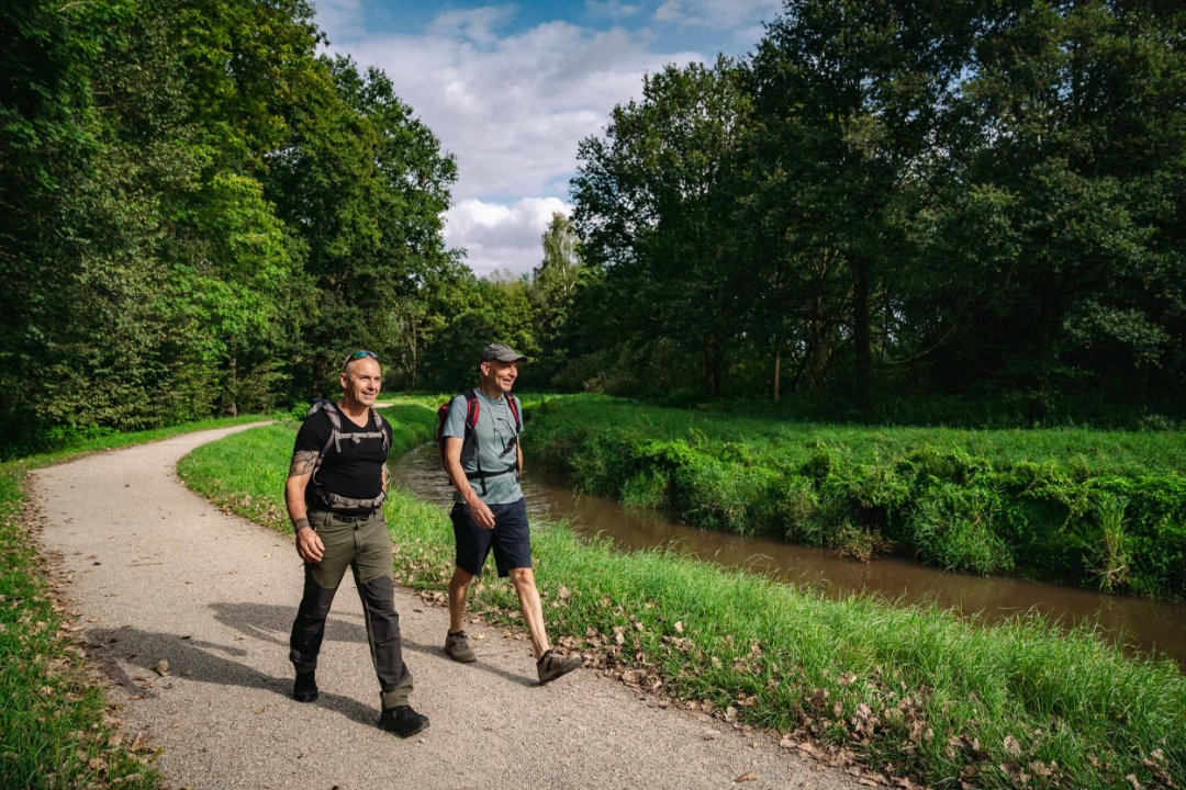
This varied walk starts at Tourism Westerlo and takes you past beautiful natural scenery and heritage sites that spark the imagination.
Is the route a little too long? Then shorten it at junction 27.

automatic translation

Icon nodes to follow nodes to follow

Icon start route
0 km
Image node 16
0.4 km
Image node 20
1.1 km
Image node 6
2 km
Image node 5
2 km
Image node 4
2.3 km
Image node 7
2.6 km
Image node 8
3.1 km
Image node 9
3.6 km
Image node 11
5.2 km
Image node 14
5.4 km
Image node 12
5.4 km
Image node 13
6.1 km
Image node 132
6.8 km
Image node 22
7.1 km
Image node 27
7.8 km
Image node 75
8.2 km
Image node 106
8.7 km
Image node 108
8.8 km
Image node 29
9.1 km
Image node 10
9.4 km
Image node 331
9.8 km
Image node 114
10.3 km
Image node 31
11.2 km
Image node 26
12.1 km
Image node 25
12.4 km
Image node 25
12.4 km
Image node 30
13.9 km
Image node 28
14.4 km
Image node 27
14.5 km
Image node 162
15.7 km
Image node 24
15.9 km
Image node 371
16.7 km
Image node 318
17.1 km
Image node 324
17.5 km
Image node 323
17.9 km
Image node 41
18.6 km
Image node 213
19 km
Image node 18
19.5 km
Image node 130
19.6 km
Icon stop route
19.8 km
This route does not have any reviews yet. Be the first!
Rate route!

Which POI do you want to show on the map?

Experimental hiking network
Unsigned icon

The route you have chosen runs (partly) along an experimental virtual hiking node network (the blue-coloured nodes and sections on the map).

You must be logged in to plan routes here.

Experimental hiking network
Unsigned icon

The route you have chosen runs (partly) along an experimental virtual hiking node network (the blue-coloured nodes and sections on the map).

These routes are not controlled in the field. Before you start hiking here, take a minute to read what an experimental hiking node network is and what rules you should follow when hiking here.