Loading...

Schellebelle-Wichelen Station Tour

automatic translation

9.1 km • Schellebelle

Icon official route official route

5650 0 0/5

9.1 km 0.0 km 0.0 km

route offered by

Badge of official route

more info

Icon starting point Addresse starting point (approximate)

Stationsstraat 137, 9260 Schellebelle

Icon type signage of route signage

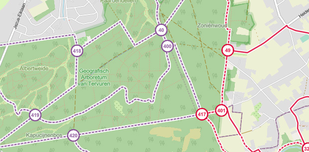
The route is fully signposted with nodes.
5m 5m 5m 5m
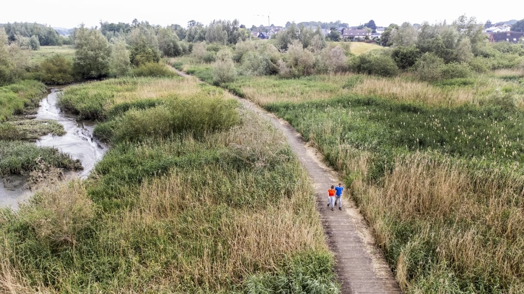
© Toerisme Oost-Vlaanderen

Icon description route Description

On this route between the stations of Wichelen and the borough of Schellebelle, you’ll never lose sight of the Scheldt. Along the way, you’ll witness the power and beauty of the Scheldt’s natural landscape, which remains in constant motion here all year round.

automatic translation

Icon nodes to follow nodes to follow

Image node 71
0 km
Image node 72
1.1 km
Image node 72
1.1 km
Image node 1
1.9 km
Image node 2
2 km
Image node 2
2.1 km
Image node 94
3 km
Image node 93
3.4 km
Image node 99
3.9 km
Image node 89
4.4 km
Image node 87
4.6 km
Image node 86
4.6 km
Image node 60
4.8 km
Image node 61
8.9 km
Image node 61
9.1 km
This route does not have any reviews yet. Be the first!
Rate route!

Which POI do you want to show on the map?

Experimental hiking network
Unsigned icon

The route you have chosen runs (partly) along an experimental virtual hiking node network (the blue-coloured nodes and sections on the map).

You must be logged in to plan routes here.

Experimental hiking network
Unsigned icon

The route you have chosen runs (partly) along an experimental virtual hiking node network (the blue-coloured nodes and sections on the map).

These routes are not controlled in the field. Before you start hiking here, take a minute to read what an experimental hiking node network is and what rules you should follow when hiking here.