Hiking
 Login
 More
 EN
 Premium
Okegem - along field roads, slow roads and footpaths
automatic translation
10.5 km • Ninove
1930 0 0/5

 Addresse starting point (approximate)
Frans Van der Perrekaai 8, 9400 Okegem, BE
 signage
The route is not signposted. Use a GPS device or our app to follow the route.
 Description
Departure: parking OLV Opdrachtkerk - Frans van der Perrekaai - Okegem
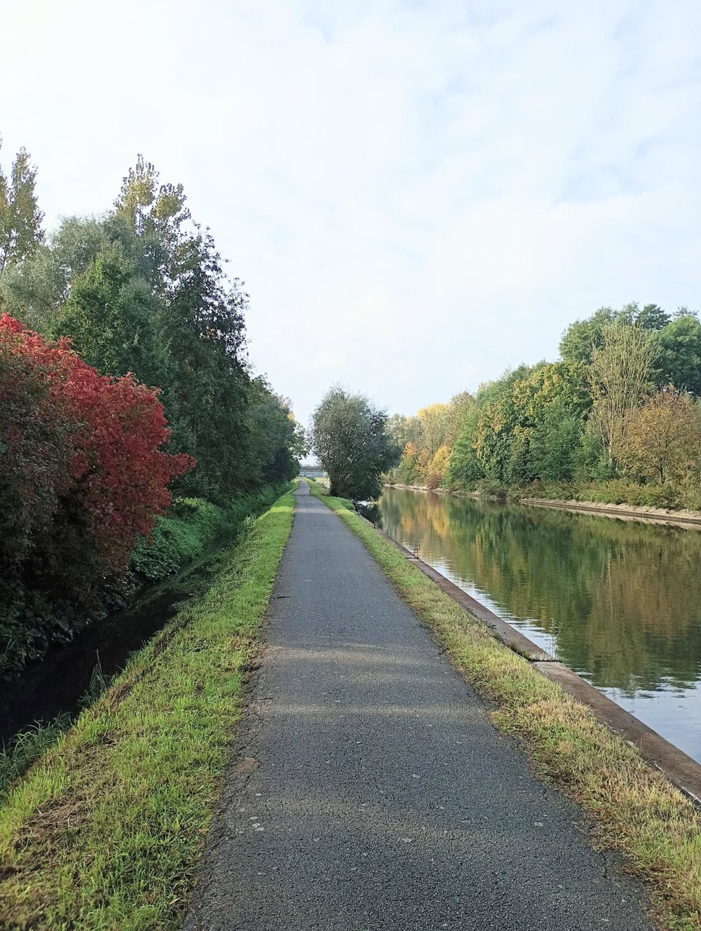
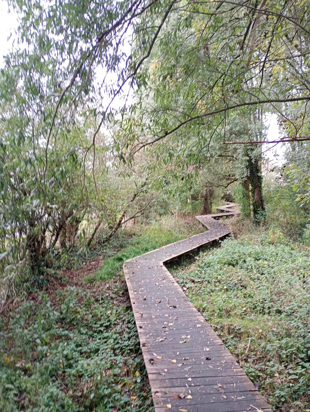
We start along the Dender and quickly enter a floodplain. This area is naturally very marshy and was completely overgrown during a previous walk. This time, fortunately, the paths were passable.
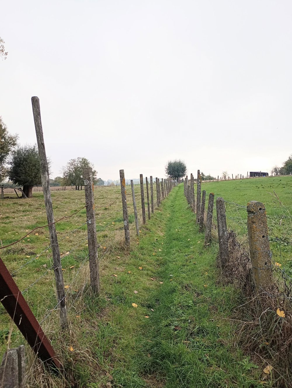
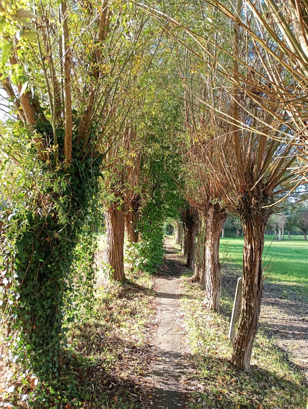
We then proceed along country roads towards Ledeberg, where we mainly follow the small paths that wind between the backyards of the houses. Then we continue our journey to Pamel.
The cemetery of Pamel, closed since 1996, exudes a special atmosphere. The many old tombstones and the somewhat neglected appearance give this place a unique, mysterious character.
Further on, a winding boardwalk along the Dender leads to the monument of the Dikke van Pamel, a final sight at the end of the walk.
No catering and few resting points. Good, waterproof walking shoes are certainly recommended in this area.
automatic translation



 Upgrade to Premium Plus