
 Hiking
 Login
Login
 More
More
 EN
EN
 Premium
Where the Water Shows the Way
automatic translation
7.5 km • Mol
5620 0 0/5

 Addresse starting point (approximate)
Zilvermeerlaan 5, 2400 Mol, BE
 signage
The route is fully signposted with nodes.
 Description
Done on 11/10/2026 (10,302 steps)
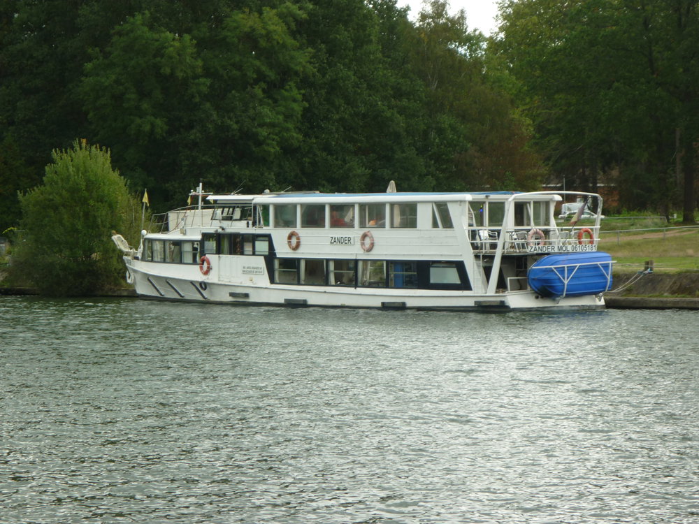
A peaceful walk that takes you along the water and through the green landscape of Mol. You follow pleasant paths along the canal and pass by the surroundings of Sas 4, where water and shipping play an important role.
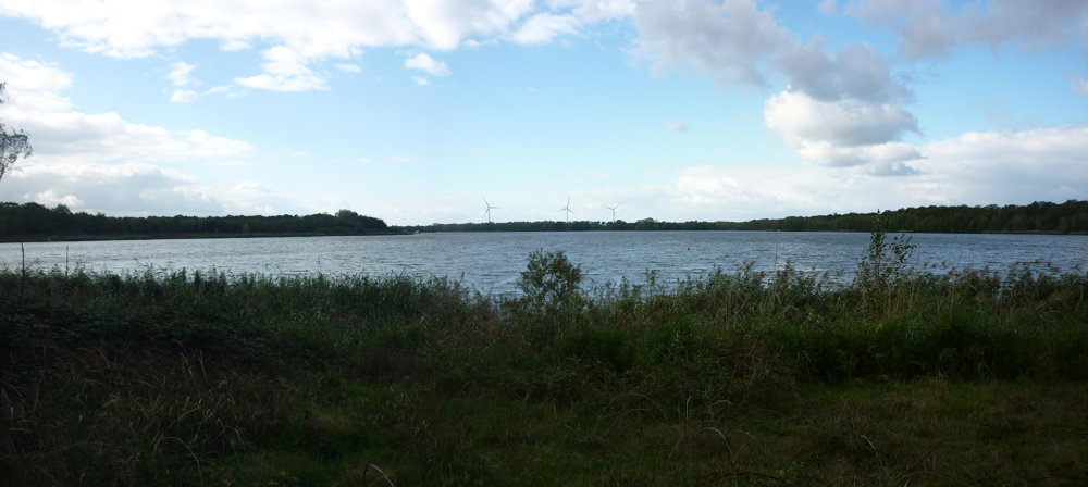
Beautiful views of the canal ponds and the surrounding nature reserve regularly open up. The combination of water, forest, and open space provides a varied journey with a typical Kempen character.
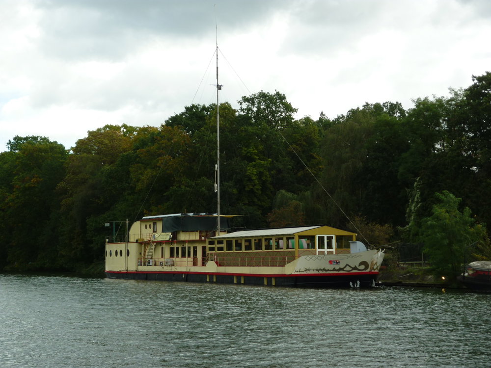
Along the way, you enjoy peace, nature, and a few remarkable places that remind you of the region's history.
Worth seeing is the Sas4 tower, which is 37 meters high and offers a stunning view. On a clear day, you can see several kilometers away. https://www.dessel.be/Sas4-Toren
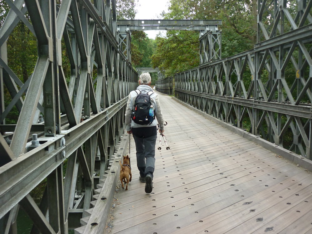
The Bailey bridge is also a special one: https://www.visitmol.be/baileybrug
More photos: https://photos.app.goo.gl/ccK9zfMdEws3aEbx8
Happy walking,
Eddy & Rita
automatic translation
 nodes to follow
0 km
1.1 km
1.2 km
1.2 km
1.5 km
2.3 km
3.1 km
3.2 km
3.3 km
4.2 km
5 km
6.9 km
7.5 km



 Upgrade to Premium Plus


