
 Hiking
 Login
Login
 More
More
 EN
EN
 Premium
Villers-la-Ville / Mellery / Gentinnes
automatic translation
16.7 km • Villers-la-Ville
1440 0 0/5

 Addresse starting point (approximate)
Rue de l'Abbaye 55, 1495 Villers-la-Ville, BE
 signage
The route is not signposted. Use a GPS device or our app to follow the route through the virtual nodes.
 Description
Departure: free parking - av Georges Speeckaert - Villers-la-Ville
After the French Revolution, the abbey was sold to a building materials trader, who systematically had the complex demolished. The ruins are now protected heritage.
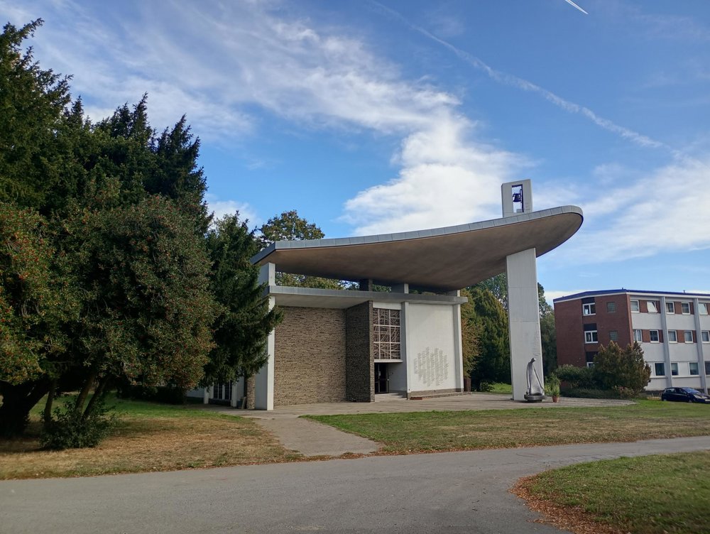
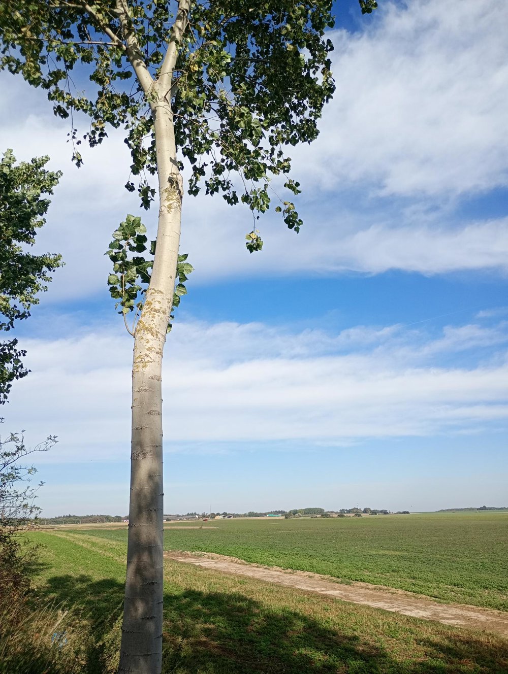
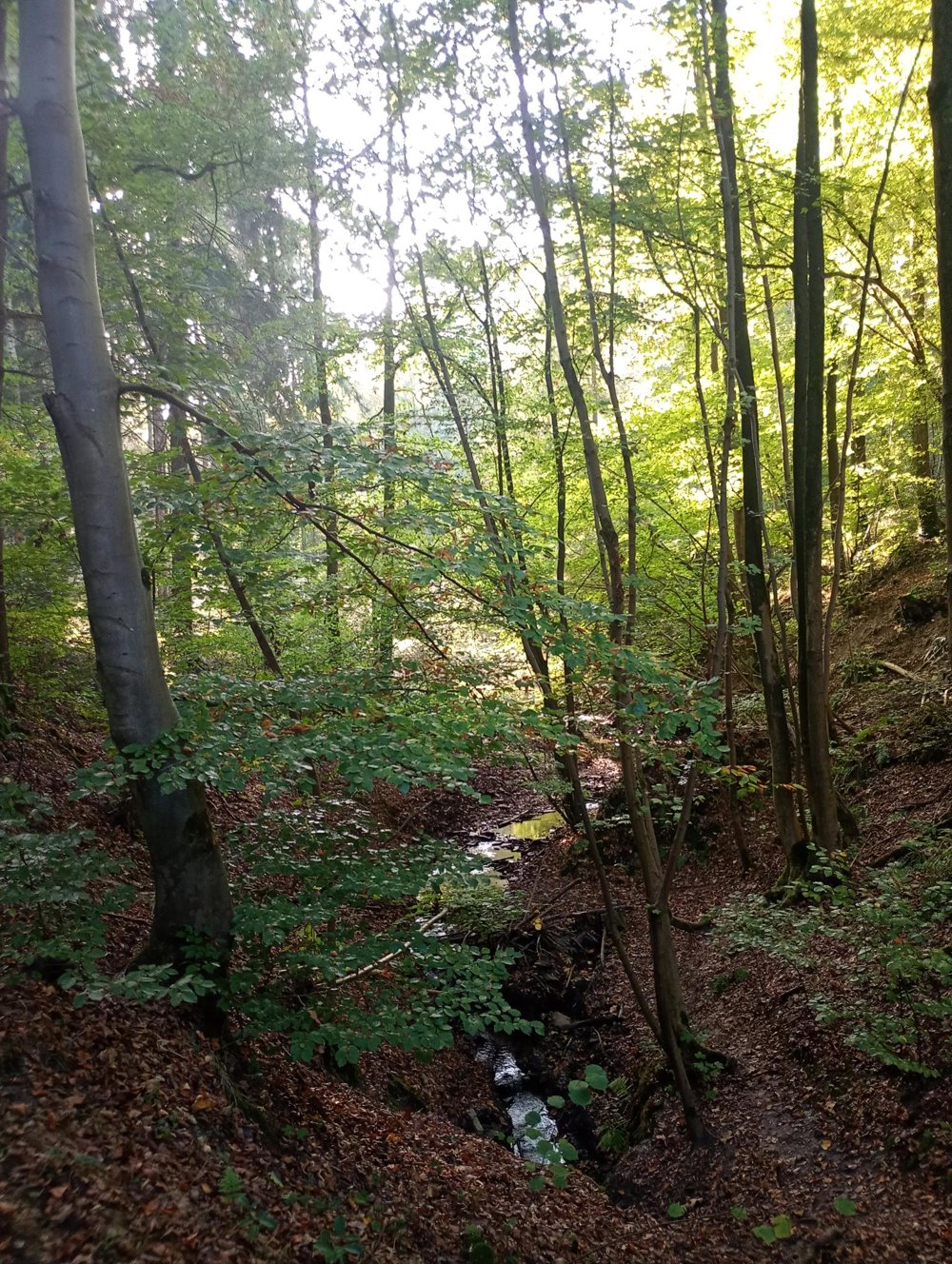
We depart through the Saint Catherine's Forest. Walking sticks are useful here as there are some steep slopes. We then proceed through vast fields to the castle of Gentinnes, which was purchased in 1903 by the Fathers of the Holy Spirit. The domain also houses the Congo Memorial from 1967, which is freely accessible. It bears the names of 217 people who lost their lives during the independence conflicts in Congo between 1960 and 1964.
A little further is the sand quarry of Mellery. Until the 1980s, up to 450,000 tons of chemical waste were illegally dumped here. Due to the statute of limitations, no one was ultimately convicted.
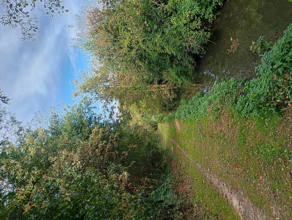
We then return via some beautiful sunken lanes through the charming center of Villers-la-Ville.
automatic translation



 Upgrade to Premium Plus


