
 Hiking
 Login
Login
 More
More
 EN
EN
 Premium
Jhangeli West Tour (southern loop)
automatic translation
7.4 km • Beckerich
5621 0 0/5

 Addresse starting point (approximate)
Kierchewee 14, 8551 Beckerich, LU
 signage
The route is not signposted. Use a GPS device or our app to follow the route through the virtual nodes.
 Description
Done on 25/09/2026 (9863 steps)
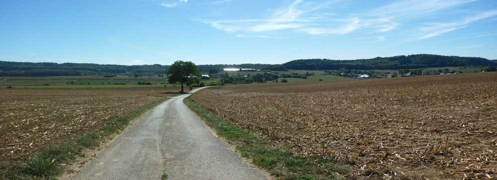
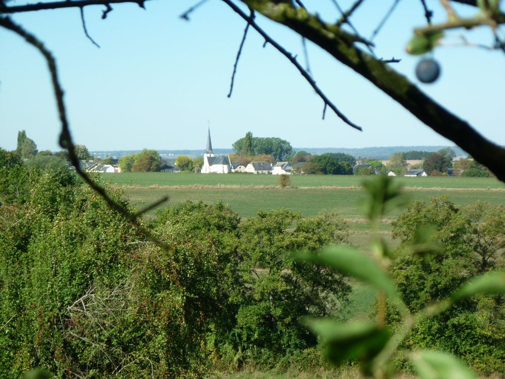
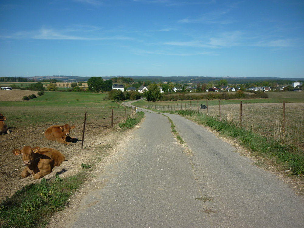
This southern loop is a fully paved walk with a sporty character. You mainly walk on low-traffic roads through the open Guttland landscape, where beautiful views over the fields and the quiet villages of Beckerich open up along the way.
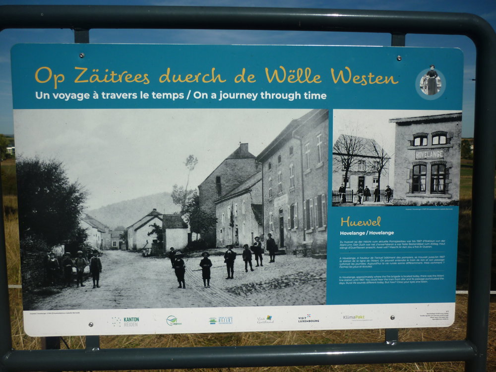
On the way, you pass several panels from the series 'Traveling through the Wild West', which bring to life small stories from the 19th century.
You also pass through Hovelange, a quiet district of Beckerich, and towards the end of the loop, railway history appears again at Station Noerdange and the Station Museum Noerdange.
The route remains paved, calm, and easy to follow throughout, ideal for those seeking a sporty yet accessible walk with a mix of history, open landscape, and quiet village roads.
Enjoy your walk, Eddy, Rita and Prinske
automatic translation
 nodes to follow
0 km
1.9 km
2.6 km
3.1 km
3.3 km
4 km
4.9 km
5 km
5.7 km
7.3 km
7.4 km



 Upgrade to Premium Plus


