
 Hiking
 Login
Login
 More
More
 EN
EN
 Premium
Parks and Nature around Vilvoorde
automatic translation
10 km • Grimbergen
2240 0 0/5

 Addresse starting point (approximate)
Populierendallaan 125, 1850 Neder-Over-Heembeek, BE
 signage
The route is not signposted. Use a GPS device or our app to follow the route.
 Description
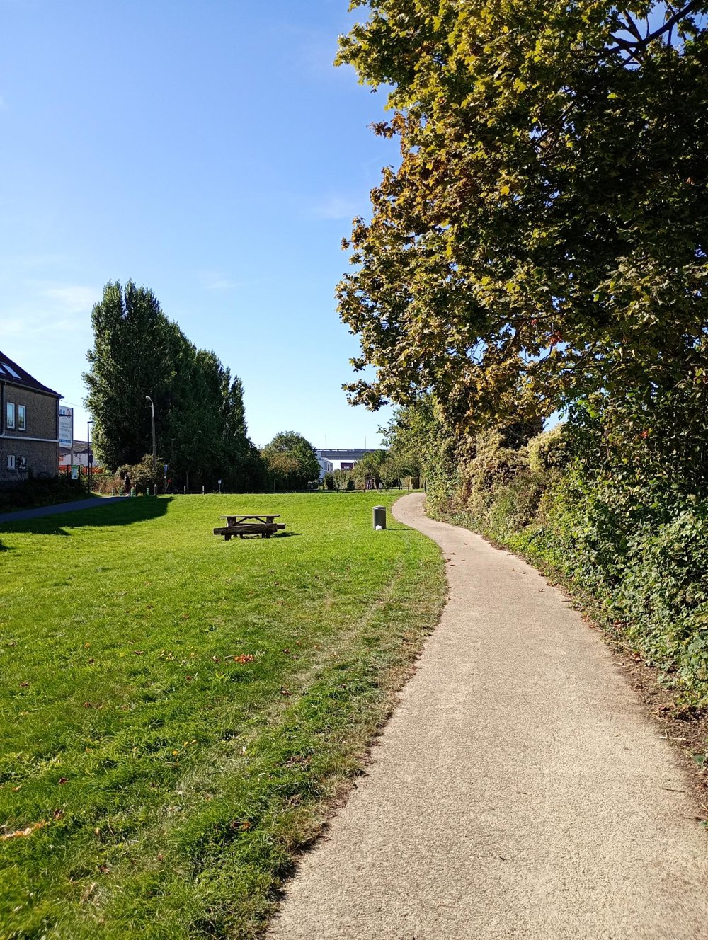
Departure: free parking sports fields - Populierendallaan - Grimbergen
Vilvoorde, the hometown of our former Prime Minister Jean-Luc Dehaene, has a rich industrial past and has now developed into a city on the outskirts of the Brussels Region.
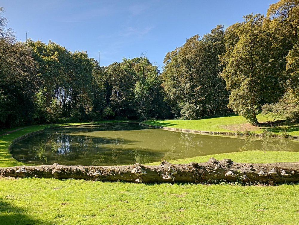
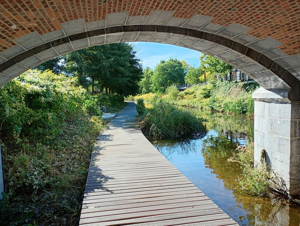
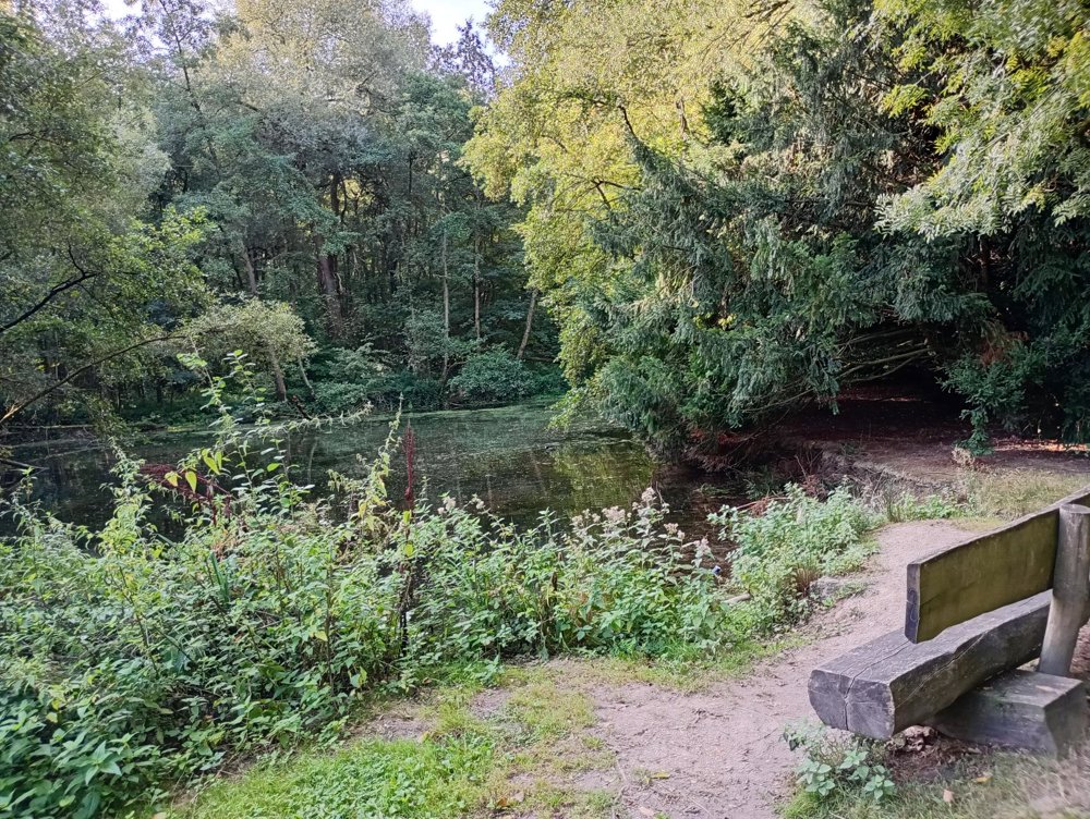
From the parking lot, we immediately enter the Tangebeek forest, to then set course for the beautiful Domain of Three Fountains. After the bridge over the canal, we follow a beautifully constructed boardwalk along the Zenne.
This path takes us past the former Tuchthuis, an impressive prison from 1771, partially transformed into a hotel and offices. A part of this prison can still be visited.
Afterwards, we return through the southern part and the Japanese garden of Three Fountains. The castle itself, from 1876, was completely destroyed during World War II by bombings. The 200-hectare domain later came into the hands of the municipality.
Sufficient rest points, catering only in the center, but not on our path.
automatic translation



 Upgrade to Premium Plus


